
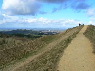
Painswick Hill camp, Ancient Iron Age partial contour fort in Painswick, England
The hillfort features earthwork ramparts and defensive structures positioned along natural contours of the terrain at an elevation of 280 meters above sea level.
The fort, constructed between 800 BCE and 43 CE, served as a strategic defensive position for local tribes monitoring movements across the Cotswolds region.
Archaeological excavations at Kimsbury Camp revealed pottery fragments and metal objects that indicate continuous occupation through the Roman period until the third century.
Visitors can access the site through marked walking paths from Painswick village, with informational panels explaining the historical features of the fortification.
The interior space of this scheduled monument now contains sections of Painswick Golf Course, creating an intersection between ancient defense works and modern recreation.
Location: Painswick
GPS coordinates: 51.80740,-2.19088
Latest update: March 6, 2025 17:01
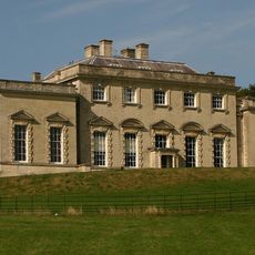
Painswick House
1.7 km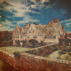
Holcombe House
1.3 km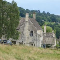
Painswick Lodge
1.8 km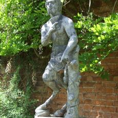
Statue of Pan circa 35 metres south east of the Stables
1.7 km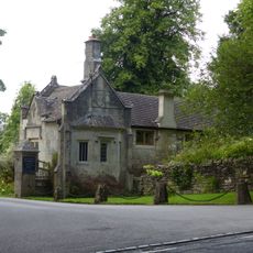
Painswick House Lodge
1.6 km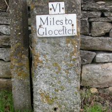
Milestone in Gloucester Road, Painswick
1.9 km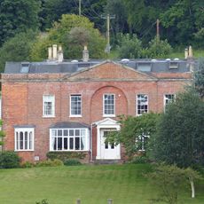
Paradise House
907 m
Ludloes
2.1 km
Carriage house and open shed circa 7 metres east of The Stables
1.7 km
Olivers
910 m
1 and 2 Gyde Almshouses
1.8 km
Butt House
2.1 km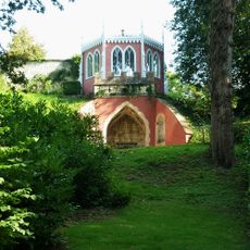
Eagle House circa 25 metres west of the stables
1.7 km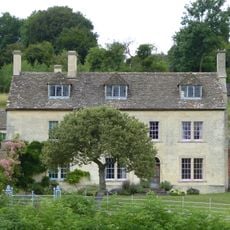
Damsels Farmhouse
982 m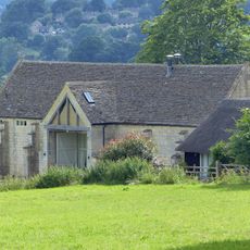
Barn about 80 metres east of Painswick Lodge
1.9 km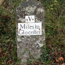
Milestone alongside B4073 at SO8663011731
479 m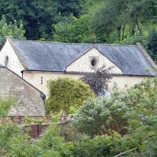
Stable block circa 20 metres south of Paradise House
936 m
The Red House circa 150 metres north of the stables
1.5 km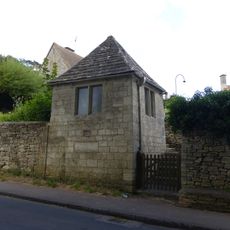
Garden pavilion to the Gyde Almshouses
1.8 km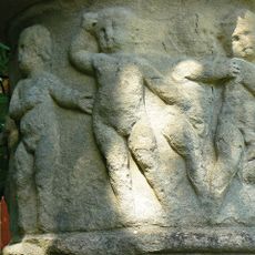
Urn circa 30 metres west of stable block at Painswick House
1.7 km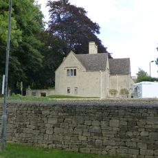
Lodge to Gyde House with gatepiers
1.7 km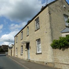
Hill House
2 km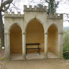
Gothic seat circa 150 metres south west of Painswick House
1.9 km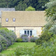
Barn about 60 metres south east of Painswick Lodge
1.9 km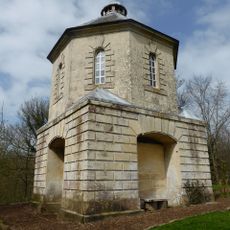
Pigeon House at Painswick House
1.9 km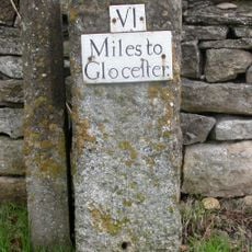
Milestone, Gloucester Road at SO86651018
1.9 km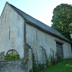
Barn to south of Holcombe House
1.3 km
Milestone, Painswick Beacon; 150m S beacon turn
474 mReviews
Visited this place? Tap the stars to rate it and share your experience / photos with the community! Try now! You can cancel it anytime.
Discover hidden gems everywhere you go!
From secret cafés to breathtaking viewpoints, skip the crowded tourist spots and find places that match your style. Our app makes it easy with voice search, smart filtering, route optimization, and insider tips from travelers worldwide. Download now for the complete mobile experience.

A unique approach to discovering new places❞
— Le Figaro
All the places worth exploring❞
— France Info
A tailor-made excursion in just a few clicks❞
— 20 Minutes