
Popularity :
Stone circle, 380m east of King's Crags, stone circle in Simonburn, Northumberland, England, UK
Location: Simonburn
Source: Wikimedia
The placeWikimedia Commons CC BY-SA
Filters

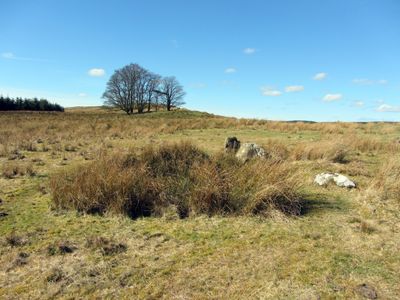
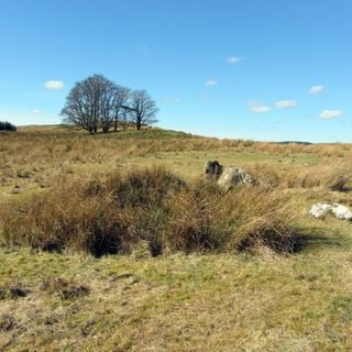
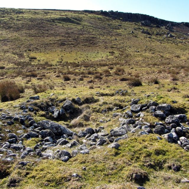
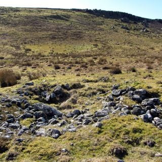
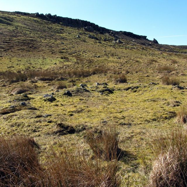
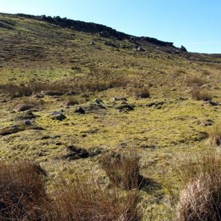
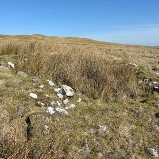
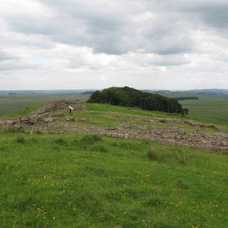
Stone circle, 380m east of King's Crags
Stone circle in Simonburn, Northumberland, England, UK
Stone circle, 380m east of King's Crags
Stone circle in Simonburn, Northumberland, England, UK
United Kingdom
0 m
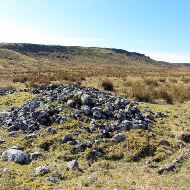
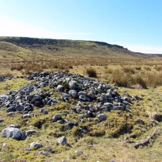
Round cairn, 120m south of King's Crags
Round cairn in Simonburn, Northumberland, England, UK
Round cairn, 120m south of King's Crags
Round cairn in Simonburn, Northumberland, England, UK
United Kingdom
371 m
Round cairn, 150m east of Kingscrag Gate
Round cairn in Simonburn, Northumberland, England, UK
Round cairn, 150m east of Kingscrag Gate
Round cairn in Simonburn, Northumberland, England, UK
United Kingdom
688 m
Round cairn, 150m ESE of Kingscrag Gate
Round cairn in Simonburn, Northumberland, England, UK
Round cairn, 150m ESE of Kingscrag Gate
Round cairn in Simonburn, Northumberland, England, UK
United Kingdom
710 m

Round cairn, 120m ENE of Kingscrag Gate
Round cairn in Simonburn, Northumberland, England, UK
Round cairn, 120m ENE of Kingscrag Gate
Round cairn in Simonburn, Northumberland, England, UK
United Kingdom
740 m
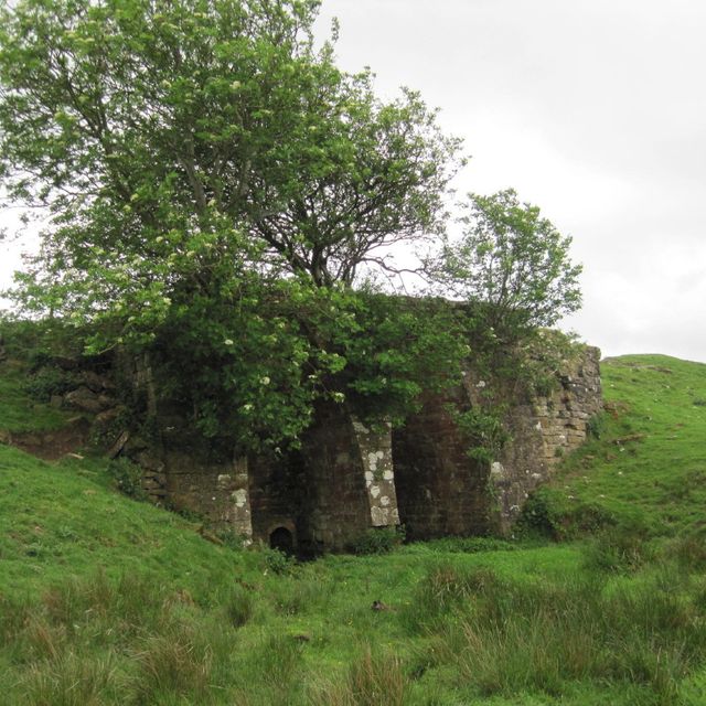
Lime Kiln 800 Metres West Of Town Shields Farmhouse
Lime kiln in Simonburn, Northumberland, UK
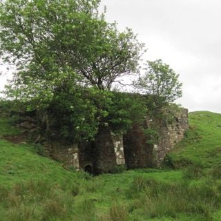
Lime Kiln 800 Metres West Of Town Shields Farmhouse
Lime kiln in Simonburn, Northumberland, UK
United Kingdom
771 m

Roman quarry inscription on Queen's Crags, 680m south east of East Hotbank
Archaeological site in Bardon Mill, Northumberland, England, UK
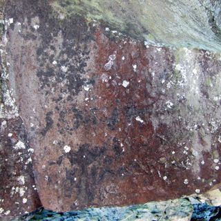
Roman quarry inscription on Queen's Crags, 680m south east of East Hotbank
Archaeological site in Bardon Mill, Northumberland, England, UK
United Kingdom
979 m
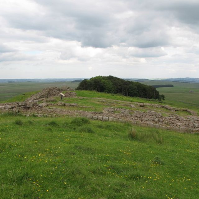
Milecastle 35
Milecastle in the United Kingdom
Milecastle 35 is a small fortification along Hadrian's Wall, located near Haydon.
Milecastle 35
Milecastle in the United Kingdom
United Kingdom
1.1 km

Milecastle 34
Milecastle on Hadrian's Wall in Northumberland, England, UK
Milecastle 34
Milecastle on Hadrian's Wall in Northumberland, England, UK
United Kingdom
1.6 km

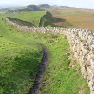
Hadrian's Wall
Roman fortification in England
Hadrian's Wall, also known as the Roman Wall, is a former defensive fortification of the Roman province of Britannia.
Hadrian's Wall
Roman fortification in England
United Kingdom
1.7 km
Resources
« Stone circle, 380m east of King's Crags - stone circle in Simonburn, Northumberland, England, UK » is provided by Around.Us (aroundus.com). Images and texts are derived from Wikimedia project under a Creative Commons license. You are allowed to copy, distribute, and modify copies of this page, under the conditions set by the license, as long as this note is clearly visible.