Download the around.us app
For a better experience, use our mobile application.
Popularity :

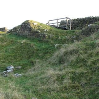
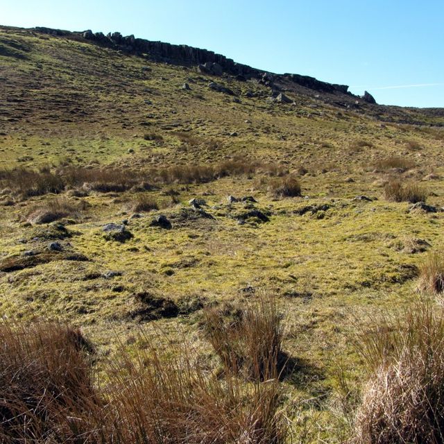
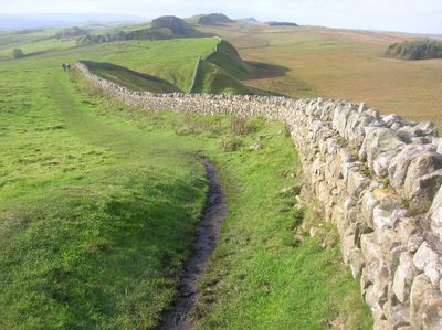
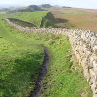
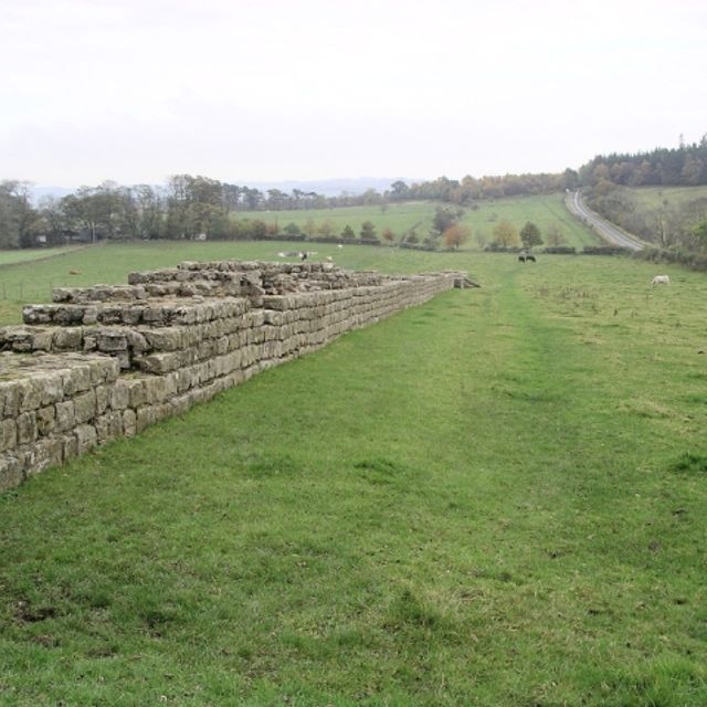
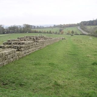
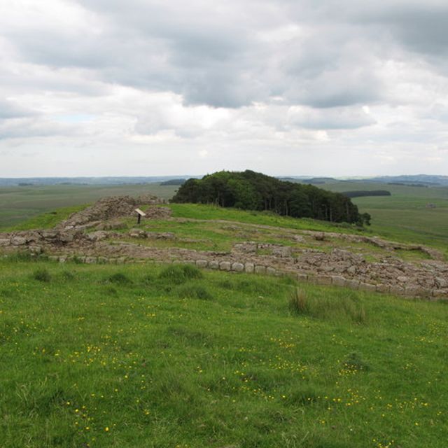
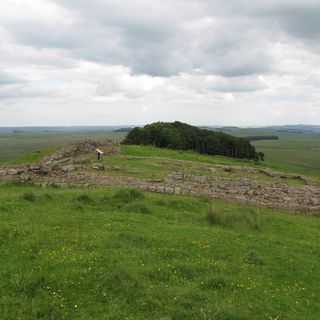
Hadrian's Wall, Roman fortification in England

Hadrian's Wall, also known as the Roman Wall, is a former defensive fortification of the Roman province of Britannia.

Built by the Romans in AD 122 during the reign of Emperor Hadrian, it was the northernmost boundary of the Roman Empire.

The wall has been a UNESCO World Heritage Site since 1987 and is an important symbol of British history.

Today, it is a popular tourist destination with several museums and visitor centers along its length.

Despite being over 1,800 years old, significant portions of the wall remain intact.

Location: Northumberland

Location: Cumbria

Inception: 122

Creator: Hadrian

Height: 3.5 m

Width: 1.8 m

Website: english-heritage.org.uk/visit/places/hadrians-wall

Sources: Wikimedia, OpenStreetMap

Filters

Hadrian's Wall Roman fortification in England

Hadrian's Wall, also known as the Roman Wall, is a former defensive fortification of the Roman province of Britannia.

United Kingdom 0 m
Hadrian's Wall
Hadrian's Wall Roman fortification in England
United Kingdom 0 m
Milecastle 34 Milecastle on Hadrian's Wall in Northumberland, England, UK

United Kingdom 590 m
Milecastle 34
Milecastle 34 Milecastle on Hadrian's Wall in Northumberland, England, UK
United Kingdom 590 m
Hadrians Wall, Milecastles and Turrets Grade I listed defensive wall in Simonburn, Northumberland, England, United Kingdom

United Kingdom 678 m
Hadrians Wall, Milecastles and Turrets
Hadrians Wall, Milecastles and Turrets Grade I listed defensive wall in Simonburn, Northumberland, England, United Kingdom
United Kingdom 678 m
Milecastle 35 Milecastle in the United Kingdom

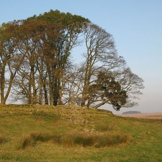
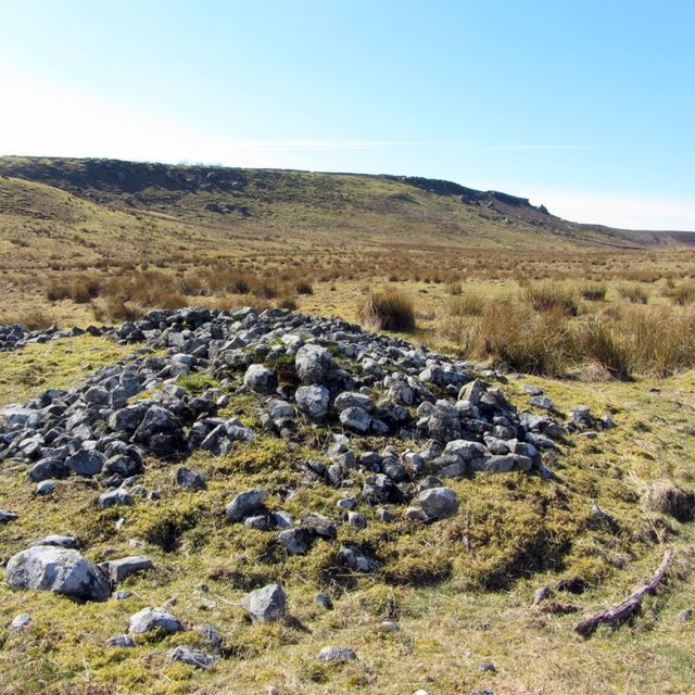
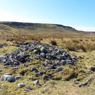
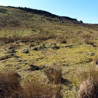
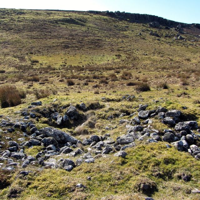
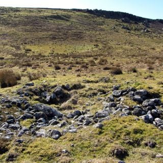
Milecastle 35 is a small fortification along Hadrian's Wall, located near Haydon.

United Kingdom 920 m
Milecastle 35
Milecastle 35 Milecastle in the United Kingdom
United Kingdom 920 m
Lime Kiln 800 Metres West Of Town Shields Farmhouse Lime kiln in Simonburn, Northumberland, UK

United Kingdom 1.2 km
Lime Kiln 800 Metres West Of Town Shields Farmhouse
Lime Kiln 800 Metres West Of Town Shields Farmhouse Lime kiln in Simonburn, Northumberland, UK
United Kingdom 1.2 km
Stone circle, 380m east of King's Crags Stone circle in Simonburn, Northumberland, England, UK

United Kingdom 1.7 km
Stone circle, 380m east of King's Crags
Stone circle, 380m east of King's Crags Stone circle in Simonburn, Northumberland, England, UK
United Kingdom 1.7 km
Milecastle 33 Ancient fortification in United Kingdom

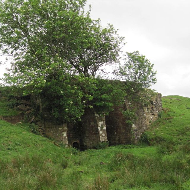
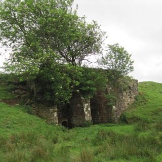
Milecastle 33 is a small fortification on Hadrian's Wall.

United Kingdom 1.8 km
Milecastle 33
Milecastle 33 Ancient fortification in United Kingdom
United Kingdom 1.8 km
Round cairn, 120m south of King's Crags Round cairn in Simonburn, Northumberland, England, UK

United Kingdom 1.9 km
Round cairn, 120m south of King's Crags
Round cairn, 120m south of King's Crags Round cairn in Simonburn, Northumberland, England, UK
United Kingdom 1.9 km
Round cairn, 150m ESE of Kingscrag Gate Round cairn in Simonburn, Northumberland, England, UK

United Kingdom 2 km
Round cairn, 150m ESE of Kingscrag Gate
Round cairn, 150m ESE of Kingscrag Gate Round cairn in Simonburn, Northumberland, England, UK
United Kingdom 2 km
Round cairn, 150m east of Kingscrag Gate Round cairn in Simonburn, Northumberland, England, UK

United Kingdom 2 km
Round cairn, 150m east of Kingscrag Gate
Round cairn, 150m east of Kingscrag Gate Round cairn in Simonburn, Northumberland, England, UK
United Kingdom 2 km
« Hadrian's Wall - Roman fortification in England » is provided by Around.Us (aroundus.com). Images and texts are derived from Wikimedia project under a Creative Commons license. You are allowed to copy, distribute, and modify copies of this page, under the conditions set by the license, as long as this note is clearly visible.