
Hadrian's Wall, Roman archaeological site in northern England, United Kingdom.
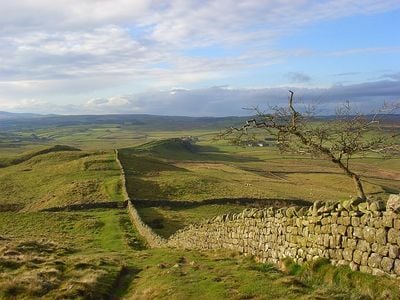
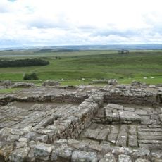
The fortification extends 73 miles (117 kilometers) through northern England, from the North Sea coast to the Irish Sea, incorporating numerous forts and watchtowers along its route. The stone barrier originally reached about 15 feet (4.5 meters) tall and 10 feet (3 meters) wide, flanked by a parallel ditch to the north and a vallum with twin earthwork banks to the south that marked the military zone.
Emperor Hadrian ordered construction of this defensive barrier in 122 CE to establish the northern frontier of Roman Britain, with building taking about six years and involving three legions. Emperor Antoninus Pius moved the frontier north to the Antonine Wall in Scotland in 142 CE, but this fortification was reactivated after 160 CE and remained garrisoned until the early fifth century.
Communities grew on both sides of the fortification, where merchants and service providers traded with garrison troops, creating multicultural settlements. Many villages and farms across the region still use stone taken from the Roman structure, visible in barns, stables, and church walls today.
The National Trail follows the complete length of the fortification, crossing through Northumberland National Park and rural English countryside. The most intact sections lie between Chollerford and Birdoswald, where several museums display artifacts and offer interpretation centers, while public transport connects major sites during summer months, though a car proves more practical for remote sections.
The fort of Vindolanda near the fortification preserves wooden writing tablets with Latin text, including personal letters and military documents from Roman soldiers. One tablet contains the oldest handwritten reference to London, while another shows a birthday invitation from one officer's wife to another, conserved by oxygen-poor soil that protected organic material.
Location: Northumberland
Location: Cumbria
Inception: 122
Creator: Hadrian
Height: 6 m
Width: 6 m
Part of: Limes Britannicus, borders of the Roman Empire
Website: https://english-heritage.org.uk/visit/places/hadrians-wall
GPS coordinates: 55.02417,-2.29250
Latest update: December 2, 2025 21:22
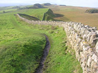
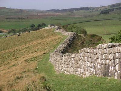
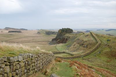
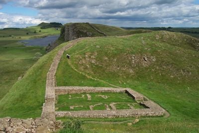
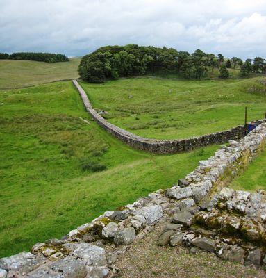
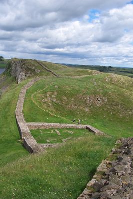
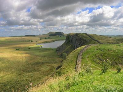
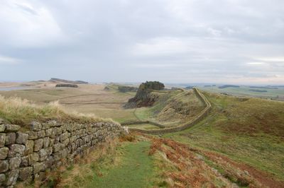
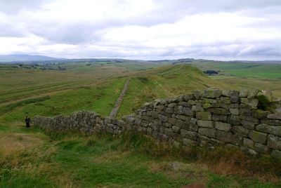
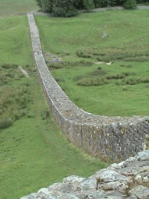
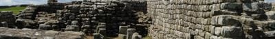
Photo license: CC BY-SA 3.0
Housesteads Roman Fort
2.8 km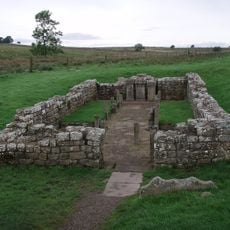
Carrawburgh
4.6 km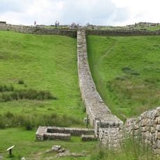
Knag Burn Gateway
2.5 km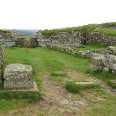
Milecastle 37
3.2 km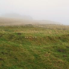
Milecastle 38
4.5 km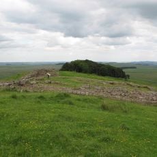
Milecastle 35
920 m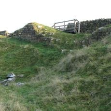
Milecastle 33
1.8 km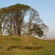
Milecastle 34
590 m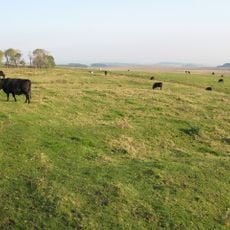
Milecastle 32
3.3 km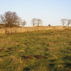
Milecastle 31
4.3 km
Coventina's Well
4.5 km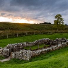
Carrawburgh Roman fort and Hadrian's Wall and vallum
4.5 km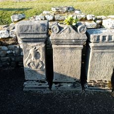
Brocolitia Mithraic temple
4.6 km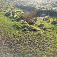
Housesteads Mithraeum
2.8 km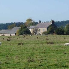
East Stonefields Farmhouse And Attached Farmbuildings And Walls
3.7 km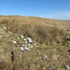
Round cairn, 120m ENE of Kingscrag Gate
2 km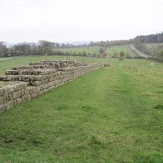
Hadrians Wall, Milecastles and Turrets
678 m
Langley Barony Mines, Haydon Bridge
4 km
Stone circle, 380m east of King's Crags
1.7 km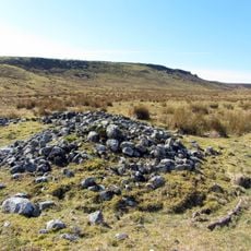
Round cairn, 120m south of King's Crags
1.9 km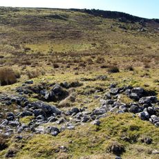
Round cairn, 150m east of Kingscrag Gate
2 km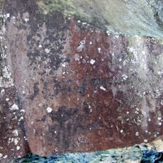
Roman quarry inscription on Queen's Crags, 680m south east of East Hotbank
2 km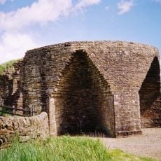
Crindledykes Lime Kiln
4.5 km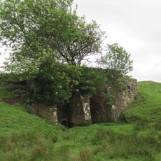
Lime Kiln 800 Metres West Of Town Shields Farmhouse
1.2 km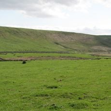
Stone circle, defended settlement, Romano-British farmstead and field system, Roman camp and group of shielings immediately sout
3.9 km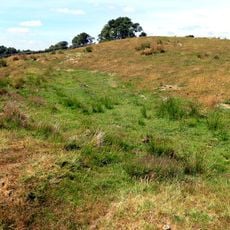
Bardon Mill
3.7 km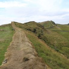
Housesteads fort, section of Wall and vallum between the field boundary west of milecastle 36 and the field boundary west of turret 37a in wall miles 36 and 37
2.9 km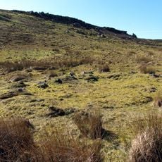
Round cairn, 150m ESE of Kingscrag Gate
2 kmVisited this place? Tap the stars to rate it and share your experience / photos with the community! Try now! You can cancel it anytime.
Discover hidden gems everywhere you go!
From secret cafés to breathtaking viewpoints, skip the crowded tourist spots and find places that match your style. Our app makes it easy with voice search, smart filtering, route optimization, and insider tips from travelers worldwide. Download now for the complete mobile experience.

A unique approach to discovering new places❞
— Le Figaro
All the places worth exploring❞
— France Info
A tailor-made excursion in just a few clicks❞
— 20 Minutes