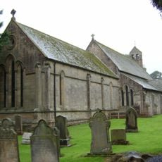
Carrawburgh, Roman archaeological site in Simonburn, England
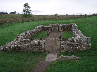
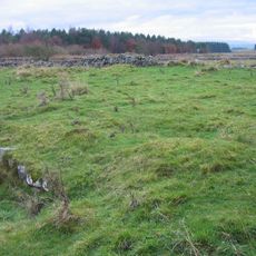
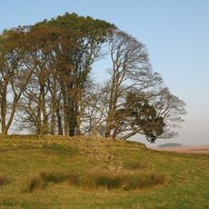
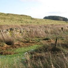
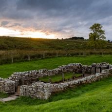
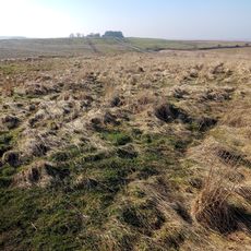
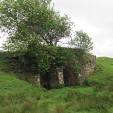
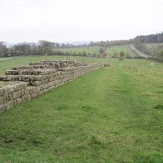
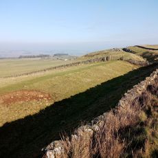
Carrawburgh is a Roman military fort in Northumberland with the remains of a fortification, military bath-house, and defensive tower structures scattered across the site. The layout shows how soldiers organized their defensive position along Hadrian's Wall to protect the frontier.
The fort was built around 130 AD to fill a defensive gap between the strongholds at Housesteads and Chesters along the Wall. This placement was part of Rome's strategy to strengthen control over Britain's northern frontier during the early empire period.
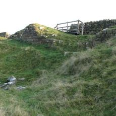
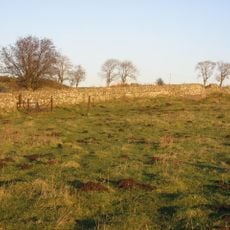
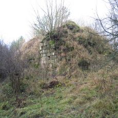
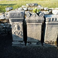
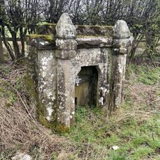
Three Roman sanctuaries stand here, including a temple to Mithras and a shrine to the goddess Coventina where soldiers left offerings. These sacred spaces reveal how the military community connected with their gods and expressed their faith through votive gifts.
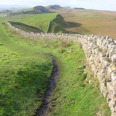
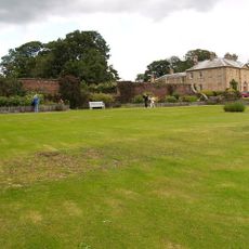
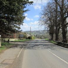
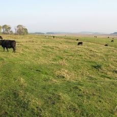
Historic England manages the site, and visitors can reach it through the dedicated parking area and the nearby Hadrian's Wall footpath. The location sits conveniently between other wall forts, making it easy to visit multiple sites during the same walking trip.
Coventina's Well held thousands of Roman artifacts when excavated, making it one of the largest collections of votive offerings in northern Britain. The sheer number of objects left by soldiers at this sacred spot reveals how important the shrine was to the military community.
The community of curious travelers
AroundUs brings together thousands of curated places, local tips, and hidden gems, enriched daily by 60,000 contributors worldwide.