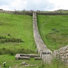
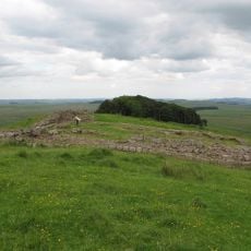
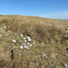
Milecastle 33, Roman fortlet in Northumberland, England
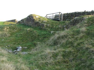
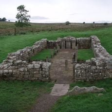
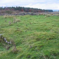
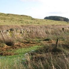
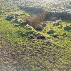
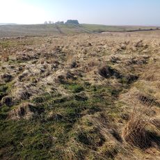
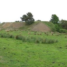
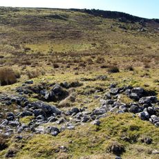
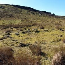
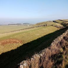
Milecastle 33 is a small Roman fortlet built as a watchtower and checkpoint along Hadrian's Wall. The remains show the foundation of a rectangular structure with gates facing both directions, designed to control movement through this section of the frontier.
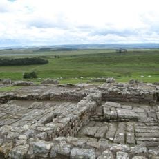
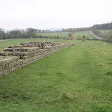
This fortlet was built during the reign of Emperor Hadrian in the 2nd century and remained in use until the late 4th century. The Romans placed milecastles at regular intervals along the wall to strengthen their control of Britain's northern frontier.
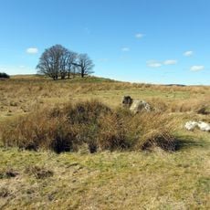
This was a checkpoint where Roman soldiers watched over people moving through the gateway and kept guard along this stretch of the wall. The soldiers who lived here performed daily patrols and controlled who could pass through.
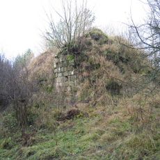
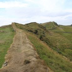
This location is accessible via the Hadrian's Wall Path, a well-marked walking trail that is easy to follow. The remains are outdoors and can be visited anytime, though there is no shelter from the weather at the site.
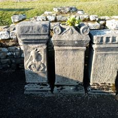
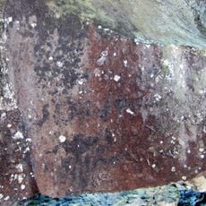
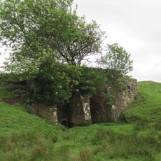
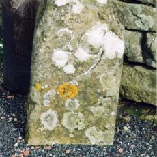
Excavations in the 1930s uncovered a carved stone with leaf patterns at the north gate, showing that Roman builders added decorative details even to this remote checkpoint. The discovery reveals a level of craftsmanship not always expected at such a small fortlet.
The community of curious travelers
AroundUs brings together thousands of curated places, local tips, and hidden gems, enriched daily by 60,000 contributors worldwide.