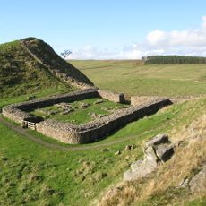
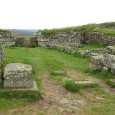
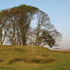
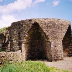
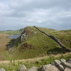
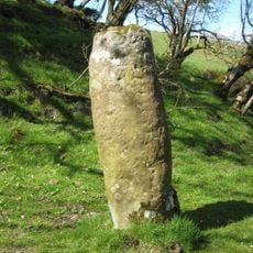
Knag Burn Gateway, Roman gate near Housesteads Fort, Northumberland, England.
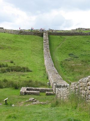
Knag Burn Gateway is a Roman passage through Hadrian's Wall with guard chambers positioned on either side of a narrow entrance. The stone structure stands where the wall crosses a stream, positioned between two significant military points along the fortification.
The gateway was built in the 4th century as a controlled passage through the Roman defensive line in northern Britain. This late construction period shows that the wall remained an active military structure even after centuries of use.
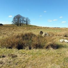
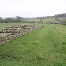
The gateway illustrates how Romans designed entrances to their fortifications with watchers positioned on both sides to monitor who crossed. This arrangement shows that military control over movement was built into the very structure of their defensive line.
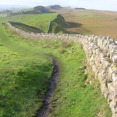
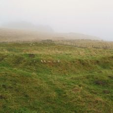
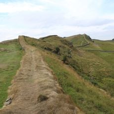
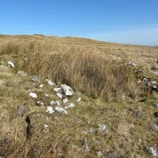
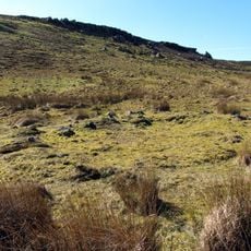
Access to the site is through marked footpaths near Housesteads Fort with basic signposting along the way. Expect uneven ground and changeable weather as you walk the moorland terrain to reach the gateway.
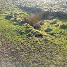
The gateway features guard chambers with unequal dimensions that differ from standard milecastle entrances in the wall. This irregularity likely reflects the challenging terrain where the wall crosses the stream.
The community of curious travelers
AroundUs brings together thousands of curated places, local tips, and hidden gems, enriched daily by 60,000 contributors worldwide.