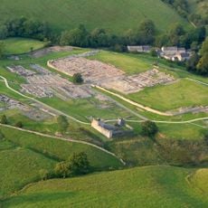
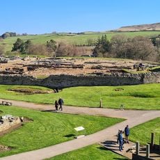
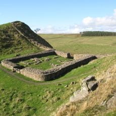
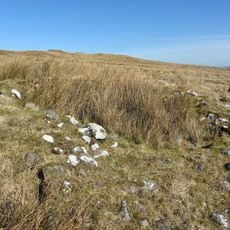
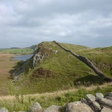
Milecastle 38, Roman fortification in Bardon Mill, England
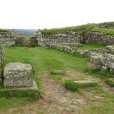
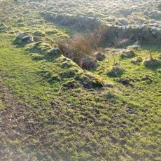
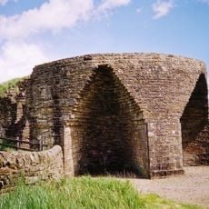
Milecastle 38 is a rectangular stone fortification along Hadrian's Wall with gates opening to both north and south. The structure was solidly constructed and contained internal spaces for housing the permanent garrison and administrative functions.
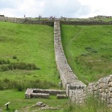
The fort was built around 122 CE under Emperor Hadrian as part of a series of structures that separated Roman territory from Scotland. It was one of roughly 80 similar posts along the newly established frontier.
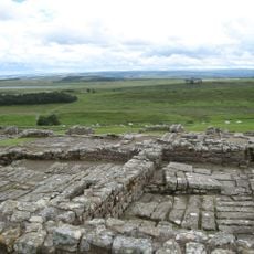
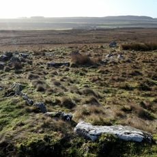
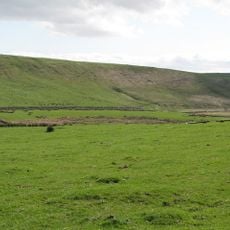
This fortification served as a control point where Roman soldiers monitored the movement of people between the empire and the north. The soldiers interacted daily with local traders and travelers, making the site an interface between two distinct worlds.
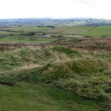
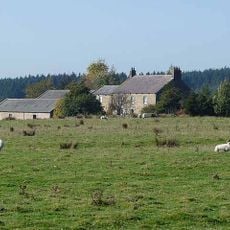
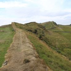
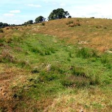
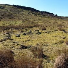
The ruins are reached via marked walking paths from Bardon Mill and lie along the popular Hadrian's Wall hiking route. Access is straightforward and the site can be visited regardless of weather conditions.
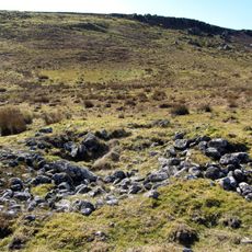
Archaeological finds show that soldiers stationed here sometimes brought families, evident from pottery fragments and household items discovered at the site. This suggests frontier life was less isolated than historically believed.
Location: Bardon Mill
Part of: Hadrian's Wall
GPS coordinates: 55.00725,-2.35684
Latest update: December 14, 2025 13:03
Vindolanda
2 km
Castra Vindolanda
1.8 km
Sycamore Gap Tree
1.2 km
Housesteads Roman Fort
1.8 km
Milecastle 39
1.3 km
Knag Burn Gateway
2 km
Milecastle 37
1.3 km
Vindolanda Museum
1.8 km
Milecastle 40
2.8 km
Vindolanda Museum
1.9 km
Bardon Mill War Memorial
3.7 km
Housesteads Mithraeum
1.8 km
Uninscribed Roman milestone at Codley Gate (Vindolanda)
1.7 km
East Stonefields Farmhouse And Attached Farmbuildings And Walls
2.5 km
Hadrians Wall Milecastles And Turrets
2.6 km
Round cairn, 150m east of Kingscrag Gate
3.6 km
Round cairn, 120m ENE of Kingscrag Gate
3.5 km
Crindledykes Lime Kiln
1.4 km
Ring cairn and shieling immediately west of Chatley Crags
3.1 km
Housesteads fort, section of Wall and vallum between the field boundary west of milecastle 36 and the field boundary west of turret 37a in wall miles 36 and 37
1.6 km
Bardon Mill
1.7 km
Hadrian's Wall and associated features between the field boundary west of turret 37a and the road to Steel Rigg car park in wall
939 m
Stone circle, defended settlement, Romano-British farmstead and field system, Roman camp and group of shielings immediately sout
1.5 km
Roman quarry inscription on Queen's Crags, 680m south east of East Hotbank
3.3 km
Milestone, E of Housesteads Roman Fort; at entrance to "Beggarbog"
2.5 km
Round cairn, 150m ESE of Kingscrag Gate
3.6 km
Roman milestone, E of Chesterholm Fort
1.7 km
Causeway House And Loose Box Adjoining On East
2 kmVisited this place? Tap the stars to rate it and share your experience / photos with the community! Try now! You can cancel it anytime.
Discover hidden gems everywhere you go!
From secret cafés to breathtaking viewpoints, skip the crowded tourist spots and find places that match your style. Our app makes it easy with voice search, smart filtering, route optimization, and insider tips from travelers worldwide. Download now for the complete mobile experience.
A unique approach to discovering new places❞
— Le Figaro
All the places worth exploring❞
— France Info
A tailor-made excursion in just a few clicks❞
— 20 Minutes