Vindolanda, Roman fort and archaeological site in Northumberland, England
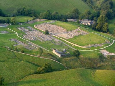
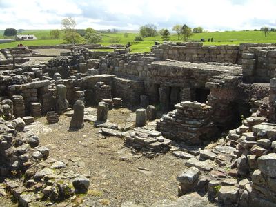
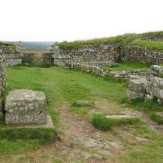
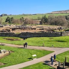
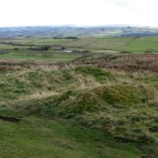
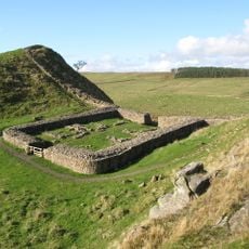
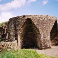
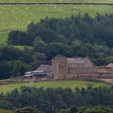
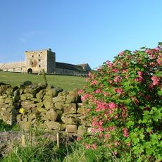
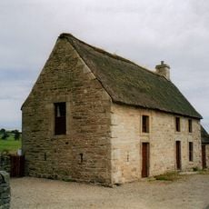
Vindolanda is a Roman military post in Northumberland, England, where the excavation area reveals barracks, civilian houses, workshops, granaries, and defensive walls across multiple ground layers. A museum on the grounds displays thousands of finds, while reconstructed buildings and ongoing excavations give visitors a sense of life at this frontier post.
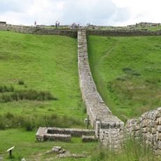
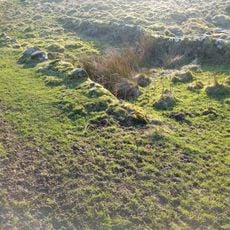
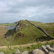
The site began in 85 CE along the Stanegate road to secure the northern frontier of Britain before the construction of Hadrian's Wall. Over the centuries, nine different forts were built here, each erected on the ruins of the previous one, preserving organic materials like leather and wood in oxygen-poor soil.
The wooden tablets found here record beer deliveries, birthday invitations, and requests for warmer underwear during British winters. They offer direct insight into the everyday language and personal concerns of soldiers and their families living at this frontier post far from Rome.
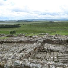
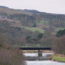
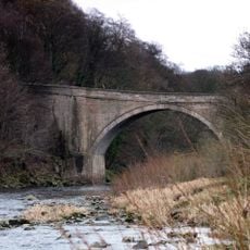
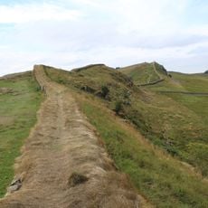
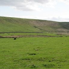
The site lies south of Hadrian's Wall and is reached by a well-signposted access road branching off from the main A69 highway. The grounds include both flat and gently sloping sections, so sturdy footwear is advisable, especially after rainfall.
The repeated building of new forts on old foundations created a kind of time capsule where even textiles and wooden letters survived for nearly two millennia. Conditions in the soil allowed hundreds of inscribed wooden tablets to remain readable, now giving voice to the personal words of Roman frontier soldiers.
The community of curious travelers
AroundUs brings together thousands of curated places, local tips, and hidden gems, enriched daily by 60,000 contributors worldwide.