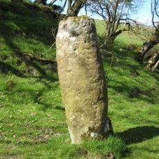
Milecastle 40, Roman fortified outpost at Hadrian's Wall, United Kingdom
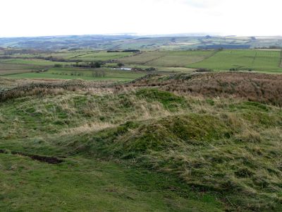
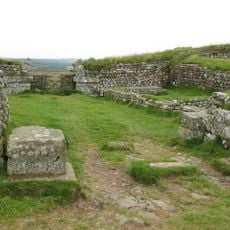
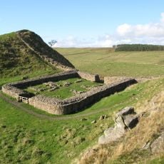
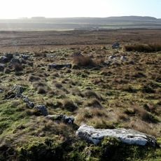
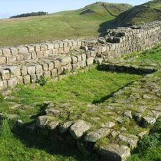
Milecastle 40 is a small Roman fortified post positioned along Hadrian's Wall in northern England. The structure contains two gateway entrances that were later modified to restrict passage to foot traffic only, with stone walls angled away from the main defensive line.
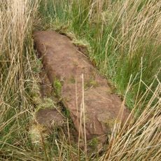
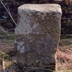
The fortlet was built during the 2nd century while Rome controlled Britain. Archaeological work from 1908 onward uncovered the structure and showed that it underwent modifications over time to meet shifting military needs.
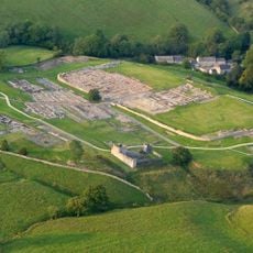
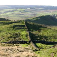
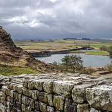
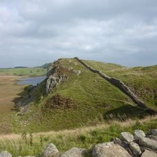
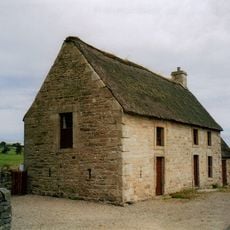
The fortress represents the Roman military engineering methods used to establish control points and monitor movement between territories in ancient Britain.
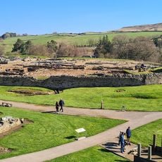
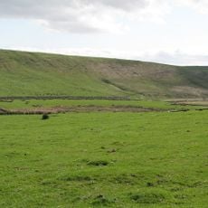
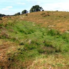
The site sits on the Hadrian's Wall Path, which connects multiple Roman remains and provides visitors with a walking route through the landscape. The location is fairly open to explore, though visitors should come prepared for moorland conditions and variable weather.
The angled stone walls at the gateways are a rare architectural solution showing how Roman engineers controlled passage while keeping the defensive line intact. This feature makes the location a valuable example of Roman ingenuity in adapting to local terrain.
Part of: Hadrian's Wall
GPS coordinates: 55.00218,-2.39916
Latest update: December 14, 2025 18:04
Vindolanda
2.4 km
Castra Vindolanda
2.8 km
Sycamore Gap Tree
1.6 km
Milecastle 39
1.5 km
Milecastle 42
3.1 km
Milecastle 37
4.1 km
Milecastle 38
2.8 km
Vindolanda Museum
2.9 km
Milecastle 41
1.6 km
Church of All Hallows
3.7 km
Milestone, Haltwhistle Common; between "Twice Brewed" PH and Greenhead; opp. "Milestone House"
2.7 km
Vindolanda Museum
2.8 km
Cawfields
3.2 km
Hadrian's Wall and vallum between the road to Caw Gap and the Caw Burn in wall miles 41 and 42
2.6 km
Hadrians Wall Milecastles And Turrets
167 m
Stone circle, defended settlement, Romano-British farmstead and field system, Roman camp and group of shielings immediately sout
3.6 km
Milestone House Roman temporary camp and section of the Stanegate Roman road
2.8 km
Crindledykes Lime Kiln
3.5 km
Uninscribed Roman milestone at Codley Gate (Vindolanda)
2.8 km
East Stonefields Farmhouse And Attached Farmbuildings And Walls
4.4 km
Bardon Mill
3.8 km
Ring cairn and shieling immediately west of Chatley Crags
2.8 km
Milestone, Winshields
1.2 km
Hadrian's Wall and associated features between the field boundary west of turret 37a and the road to Steel Rigg car park in wall
1.8 km
Hadrians Wall Milecastle And Turrets
2.7 km
Hadrians Wall Milecastle And Turret
1.6 km
Roman milestone, E of Chesterholm Fort
2.8 km
Causeway House And Loose Box Adjoining On East
2.1 kmVisited this place? Tap the stars to rate it and share your experience / photos with the community! Try now! You can cancel it anytime.
Discover hidden gems everywhere you go!
From secret cafés to breathtaking viewpoints, skip the crowded tourist spots and find places that match your style. Our app makes it easy with voice search, smart filtering, route optimization, and insider tips from travelers worldwide. Download now for the complete mobile experience.
A unique approach to discovering new places❞
— Le Figaro
All the places worth exploring❞
— France Info
A tailor-made excursion in just a few clicks❞
— 20 Minutes