Milecastle 35, Roman milecastle in Haydon, England.
Description
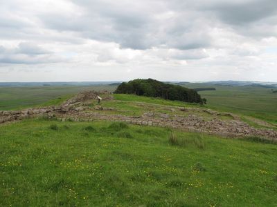
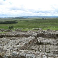
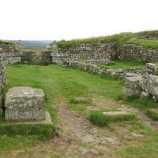
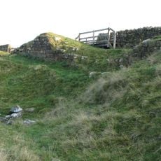
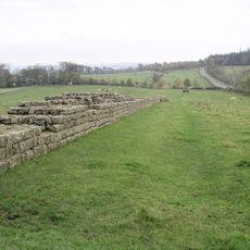
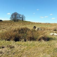
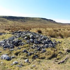
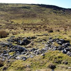
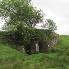
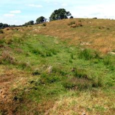
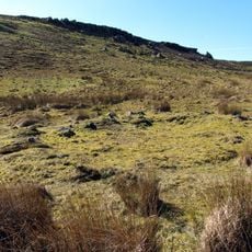
Milecastle 35 is a Roman checkpoint along Hadrian's Wall in northern England, featuring stone foundations with a gateway positioned on the southeast side. The remains show the typical compact layout of approximately 19 by 15.5 meters, with wall sections still standing to varying heights.
History
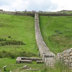
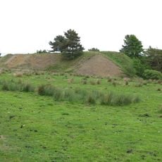
The structure was originally built in the 2nd century as part of the Roman frontier defense system and served as an active checkpoint for several generations. After Roman withdrawal, the site gradually disappeared under vegetation until archaeologists began uncovering it in the 1800s.
Culture
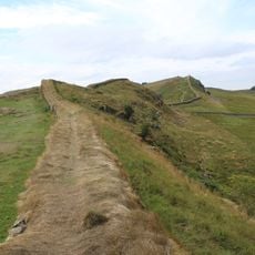
The name reflects its role as a numbered checkpoint along the Roman frontier, one of many identical structures built at regular intervals. Visitors can observe the remaining gateway positions and notice how the layout indicates organized military planning.
Practical
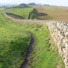
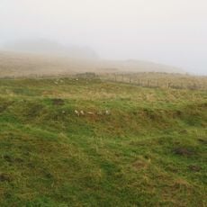
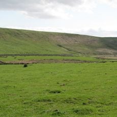
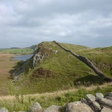
The site sits along the Hadrian's Wall Path and is best explored on foot, allowing visitors to see multiple Roman stations along a single route. The open terrain offers limited shelter, so weatherproof clothing and sturdy footwear are recommended.
Did you know?
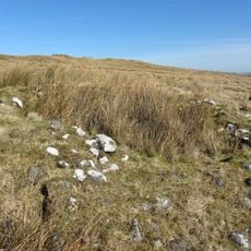
Excavations revealed that a baking oven was constructed at the site during later occupation, suggesting that military function became less important over time. This shift shows how frontier outposts evolved into community supply centers.
AroundUs brings together thousands of curated places, local tips, and hidden gems, enriched daily by 60,000 contributors worldwide. Discover all places nearby (Haydon).
Hadrian's Wall
920 m
Sycamore Gap Tree
5 km
Housesteads Roman Fort
2.1 km
Knag Burn Gateway
1.9 km
Milecastle 37
2.5 km
Milecastle 38
3.8 km
Milecastle 33
2.6 km
Milecastle 34
1.3 km
Milecastle 32
4.1 km
Housesteads Mithraeum
2.2 km
Hadrians Wall, Milecastles and Turrets
1.4 km
Round cairn, 120m ENE of Kingscrag Gate
1.1 km
Uninscribed Roman milestone at Codley Gate (Vindolanda)
5 km
Housesteads fort, section of Wall and vallum between the field boundary west of milecastle 36 and the field boundary west of turret 37a in wall miles 36 and 37
2.3 km
Roman quarry inscription on Queen's Crags, 680m south east of East Hotbank
1.1 km
Langley Barony Mines, Haydon Bridge
4.6 km
Stone circle, 380m east of King's Crags
1.1 km
Round cairn, 120m south of King's Crags
1.1 km
Round cairn, 150m east of Kingscrag Gate
1.1 km
Stone circle, defended settlement, Romano-British farmstead and field system, Roman camp and group of shielings immediately sout
3 km
Crindledykes Lime Kiln
4 km
Lime Kiln 800 Metres West Of Town Shields Farmhouse
1 km
East Stonefields Farmhouse And Attached Farmbuildings And Walls
2.8 km
Bardon Mill
2.8 km
Hadrian's Wall and associated features between the field boundary west of turret 37a and the road to Steel Rigg car park in wall
4.7 km
Round cairn, 150m ESE of Kingscrag Gate
1.1 km
Milestone, E of Housesteads Roman Fort; at entrance to "Beggarbog"
1.7 km
Roman milestone, E of Chesterholm Fort
5 kmDiscover hidden gems everywhere you go!
From secret cafés to breathtaking viewpoints, skip the crowded tourist spots and find places that match your style. Our app makes it easy with voice search, smart filtering, route optimization, and insider tips from travelers worldwide. Download now for the complete mobile experience.
A unique approach to discovering new places❞
— Le Figaro
All the places worth exploring❞
— France Info
A tailor-made excursion in just a few clicks❞
— 20 Minutes