
Site of medieval chapel and section of Fountains Park park pale, 170m south west of How Hill Farm
Site of medieval chapel and section of Fountains Park park pale, 170m south west of How Hill Farm, archaeological site in Markington with Wallerthwaite, Harrogate, England, UK
Location: Markington with Wallerthwaite
GPS coordinates: 54.09860,-1.58046
Latest update: March 8, 2025 17:45

Studley Royal Park
1.9 km
Fountains Hall
1.3 km
Markenfield Hall
1.9 km
Studley Royal Park including the Ruins of Fountains Abbey
2 km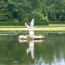
Statue of Neptune and Pedestal in Centre of Moon Pond
1.8 km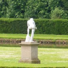
Statue on West Side of North Crescent Pond
1.9 km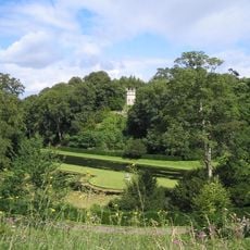
The Octagon Tower
2 km
Weir and reservoir below Tent Hill
1.6 km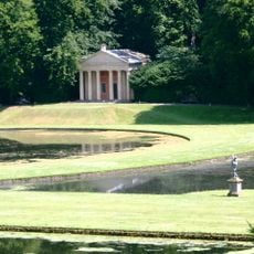
Temple Of Piety On East Side Of Moon Pond
1.8 km
The Wrestlers
1.9 km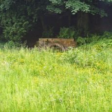
Robin Hood's Well
1.3 km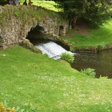
Rustic Bridge At South End Of The Canal, With Culvert And Arch To Reservoir
1.6 km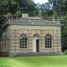
Banqueting House Approximately 100 Metres To West Of The Canal
1.9 km
Tunnel Approximately 20 Metres West Of The Octagon, With Flanking Wall Attached To South
2 km
The Obelisk Approximately 80 Metres West Of Church Of St Mary
2.2 km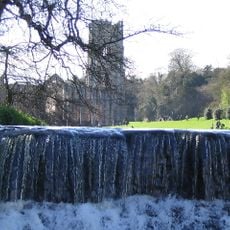
Weir At North End Of The Canal, With Piers, Fishing Pavilions And Balustrade
2.1 km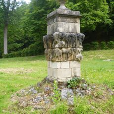
Quebec Monument
1.6 km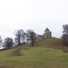
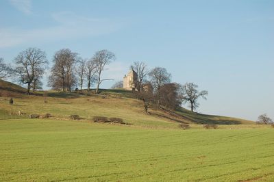
How Hill Tower
66 m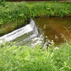
Weir On River Skell Approximately 120 Metres West Of The Reservoir
1.4 km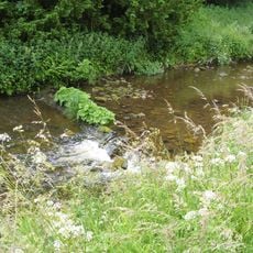
Weir On River Skell Approximately 10 Metres East Of The Infirmary At Fountains Abbey
1.3 km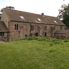
Abbey Mill
1.2 km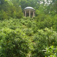
Temple Of Fame On Cliff Top At South Side Of Moon Pond
1.7 km
The Canal Gates And Flanking Walls On West Side Of The Lake
2.1 km
Stewards House, Now National Trust Restaurant And Shop
2.1 km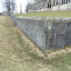
Boundary Wall With West And South Gates, Church Of St Mary
2.2 km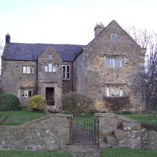
Watergate
2 km
Farm Buildings To South Of Markenfield Hall
2 km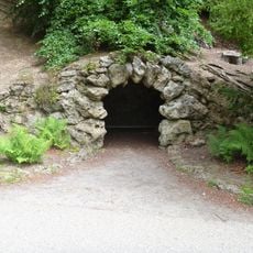
Grotto On North Side Of Reservoir
1.7 kmReviews
Visited this place? Tap the stars to rate it and share your experience / photos with the community! Try now! You can cancel it anytime.
Discover hidden gems everywhere you go!
From secret cafés to breathtaking viewpoints, skip the crowded tourist spots and find places that match your style. Our app makes it easy with voice search, smart filtering, route optimization, and insider tips from travelers worldwide. Download now for the complete mobile experience.

A unique approach to discovering new places❞
— Le Figaro
All the places worth exploring❞
— France Info
A tailor-made excursion in just a few clicks❞
— 20 Minutes