Studley Royal Park, English garden in Ripon, United Kingdom.
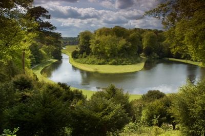
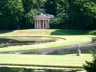
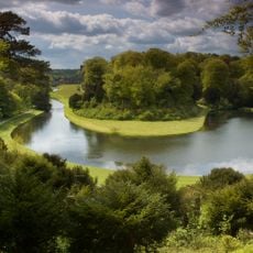
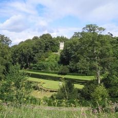
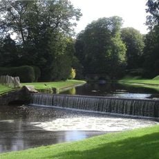
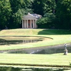
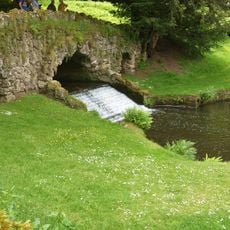
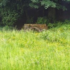
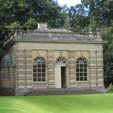
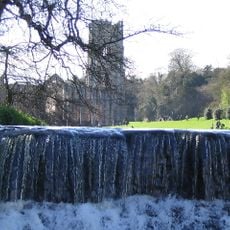
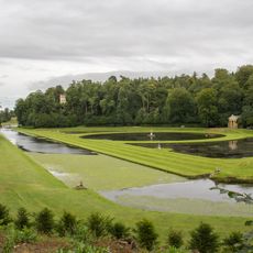
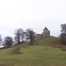
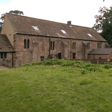
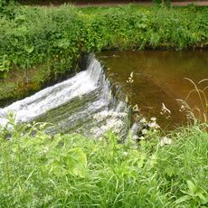
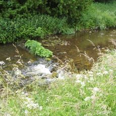
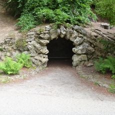
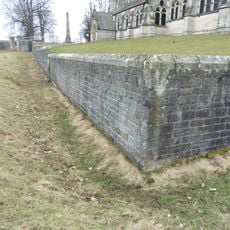
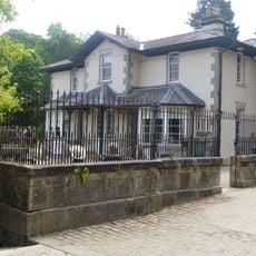
Studley Royal Park is a large garden near Ripon made up of ponds, stone structures, and tree-lined paths throughout the rolling Yorkshire landscape. The grounds spread across valleys and hillsides, connecting with the ancient ruins of a neighboring abbey.
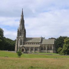
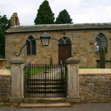
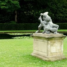
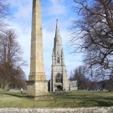
The grounds were transformed in the 18th century by John Aislabie, who created a new garden layout that later connected with the medieval ruins of a nearby abbey. These two parts, originally separate projects, eventually came together as a single destination.
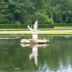
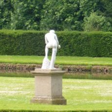
The grounds show how water and greenery become art when arranged with intention and care. Walking through, you notice the carefully placed ponds, channels, and tree-lined routes that create a designed landscape expressing personal vision.
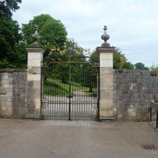
The visit works best with comfortable shoes, as paths are hilly and can get muddy, especially after rain. There are several entry points, and you should allow time to explore both the garden layout and the abbey ruins at a relaxed pace.
In the deer park section, wild animals like deer and pheasants roam freely across the grounds as part of the original design. These creatures add a living element that constantly shifts with the seasons and time of day.
Location: Aldfield
Location: Lindrick with Studley Royal and Fountains
Location: Littlethorpe
Location: Markington with Wallerthwaite
Location: Ripon
Location: Studley Roger
Made from material: stone
Part of: Studley Royal Park including the Ruins of Fountains Abbey
Website: https://nationaltrust.org.uk/fountains-abbey-and-studley-royal-water-garden
GPS coordinates: 54.11535,-1.57306
Latest update: December 7, 2025 09:27
Fountains Hall
1.1 km
St Mary's Church, Studley Royal
591 m
Church of Saint Lawrence
1.5 km
Studley Royal Park including the Ruins of Fountains Abbey
84 m
Statue of Neptune and Pedestal in Centre of Moon Pond
111 m
Statue on West Side of North Crescent Pond
33 m
The Octagon Tower
84 m
Weir and reservoir below Tent Hill
382 m
Canal Approximately 500 Metres Long, With The Drum Falls And Weir Inlet
23 m
The Wrestlers
44 m
Temple Of Piety On East Side Of Moon Pond
152 m
Rustic Bridge At South End Of The Canal, With Culvert And Arch To Reservoir
347 m
Robin Hood's Well
701 m
Banqueting House Approximately 100 Metres To West Of The Canal
195 m
The Cottage Approximately 100 Metres North-east Of Church Of St Mary With Front Garden Wall And Gate
579 m
Weir At North End Of The Canal, With Piers, Fishing Pavilions And Balustrade
151 m
Moon and Crescent Ponds
48 m
The Obelisk Approximately 80 Metres West Of Church Of St Mary
642 m
Quebec Monument
301 m
Tunnel Approximately 20 Metres West Of The Octagon, With Flanking Wall Attached To South
86 m
How Hill Tower
1.9 km
Abbey Mill
1 km
Weir On River Skell Approximately 120 Metres West Of The Reservoir
569 m
Weir On River Skell Approximately 10 Metres East Of The Infirmary At Fountains Abbey
718 m
Grotto On North Side Of Reservoir
311 m
Boundary Wall With West And South Gates, Church Of St Mary
615 m
Stewards House, Now National Trust Restaurant And Shop
162 m
The Canal Gates And Flanking Walls On West Side Of The Lake
165 mVisited this place? Tap the stars to rate it and share your experience / photos with the community! Try now! You can cancel it anytime.
Discover hidden gems everywhere you go!
From secret cafés to breathtaking viewpoints, skip the crowded tourist spots and find places that match your style. Our app makes it easy with voice search, smart filtering, route optimization, and insider tips from travelers worldwide. Download now for the complete mobile experience.
A unique approach to discovering new places❞
— Le Figaro
All the places worth exploring❞
— France Info
A tailor-made excursion in just a few clicks❞
— 20 Minutes