
Uluberia subdivision, subdivision in West Bengal, India
Location: Howrah district
Capital city: Uluberia
GPS coordinates: 22.47000,88.11000
Latest update: March 5, 2025 17:28
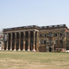
Andul rajbari
18 km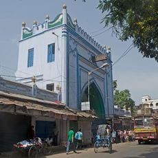
Sibtainabad Imambara
20 km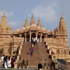
BAPS Shri Swaminarayan Mandir Kolkata
19 km
Gurusaday Museum
20 km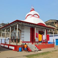
Melai Chandi Temple
16 km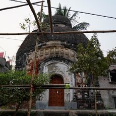
Dharmaraj temple
19.5 km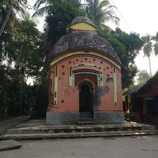
Chandrachur Shiva temple of Chowdhury family
19.5 km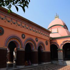
Singhabahini temple
18.9 km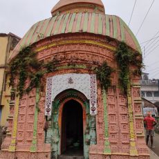
Nijbalia At-chala Shiva temple
18.8 km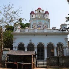
Biswanath Shiva Temple
17.4 km
Bagnan Ananda Niketan Kirtishala
17.2 km
Lakshmi-Janardan temple
16 km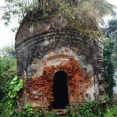
Patihal At-chala temple
20.6 km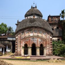
Bhubanesvari temple
16.4 km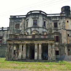
Roxburgh Building
20.4 km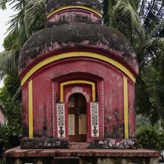
Bhubaneshwar Shiva Temple of Manna family
18.6 km
Dakshina Kali temple
13.8 km
Gobindarayjiu temple
17.5 km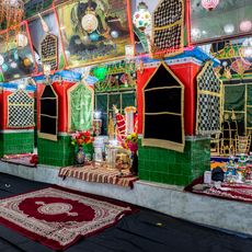
Qasr-ul-buka Imambara
20.4 km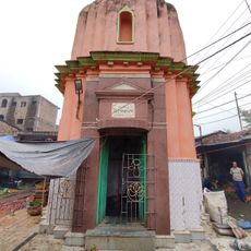
Pipileshwar Shiva Temple
18.9 km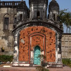
Pancharatna Temple of Majumder family
20.6 km
Khatirbazar semaphore tower
19.3 km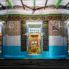
Begum Umda Mahal Imambara
19.9 km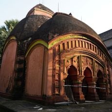
Gopinath Jiu temple of Chowdhury family
19.5 km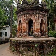
Rasmancha of Bhubaneshwar Shiva Temple of Manna family
18.6 km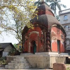
Khateshwar Shiva Temple
20.4 km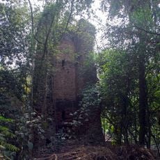
Samali Great Trigonometrical Survey tower
16 km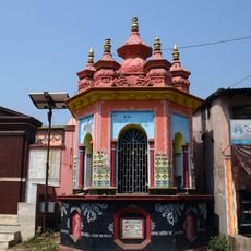
Nijbalia Rasmancha
18.9 kmReviews
Visited this place? Tap the stars to rate it and share your experience / photos with the community! Try now! You can cancel it anytime.
Discover hidden gems everywhere you go!
From secret cafés to breathtaking viewpoints, skip the crowded tourist spots and find places that match your style. Our app makes it easy with voice search, smart filtering, route optimization, and insider tips from travelers worldwide. Download now for the complete mobile experience.

A unique approach to discovering new places❞
— Le Figaro
All the places worth exploring❞
— France Info
A tailor-made excursion in just a few clicks❞
— 20 Minutes