Howrah district

Log in to your account

AroundUs is a community-driven map of interesting places, built by curious explorers like you. It grows with every review, story, and photo you share.
Connect to save your favorite spots, contribute locations, and create personalized routes.
Continue with Google
Continue with Apple
Continue with X
Continue with Facebook
Continue with email
By continuing, you accept our Terms and Conditions and our Privacy Policy
Create an account
Add to collection
Map
Suggest a change
Share

Howrah district, Administrative district in West Bengal, India

Howrah district spreads across the western side of the Hooghly River and forms an important part of West Bengal. The region includes two main subdivisions and several smaller administrative zones that organize daily life and governance throughout the district.

The region became an independent administrative district in 1793 when it separated from Hooghly. Over the following century, the administrative structure evolved as the river continued to shape the area as a center of economic and cultural activity.

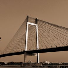
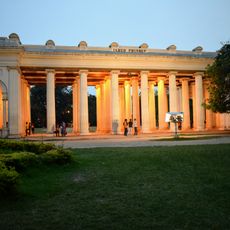
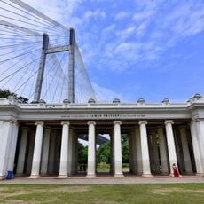
The district's name comes from the Hooghly River, which has shaped settlement patterns throughout the region. Local communities maintain strong ties to Bengali literary traditions, with connections to writers and thinkers who drew inspiration from this riverside landscape.

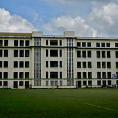
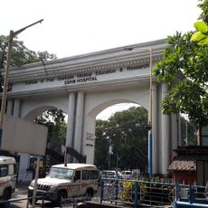
The district is structured through two main administrative zones that manage various local services and facilities. Visitors should know that administration is organized across several centers, which is helpful to understand when planning activities or seeking local services.

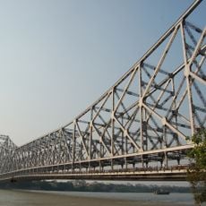
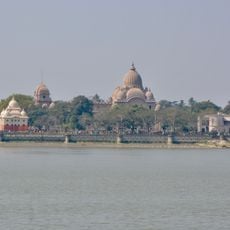
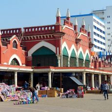
The district was historically a major hub for river trade and transport along the Hooghly. This role continues to influence the area's character today, even though transportation methods and the economy have transformed significantly.

Location: Presidency division

Capital city: Howrah

Shares border with: South 24 Parganas district, Purba Medinipur district, Paschim Medinipur district, Hooghly district, Kolkata district, North 24 Parganas district

Website: http://howrah.gov.in

GPS coordinates: 22.57363,88.32510

Latest update: December 14, 2025 20:15

Photos
Reviews

Visited this place? Tap the stars to rate it and share your experience / photos with the community! Try now! You can cancel it anytime.

« Howrah district - Administrative district in West Bengal, India » is provided by Around Us (aroundus.com). Images and texts are derived from Wikimedia project under a Creative Commons license. You are allowed to copy, distribute, and modify copies of this page, under the conditions set by the license, as long as this note is clearly visible.

Discover hidden gems everywhere you go!

From secret cafés to breathtaking viewpoints, skip the crowded tourist spots and find places that match your style. Our app makes it easy with voice search, smart filtering, route optimization, and insider tips from travelers worldwide. Download now for the complete mobile experience.

Around Us App Screenshot

A unique approach to discovering new places

Le Figaro

All the places worth exploring

France Info

A tailor-made excursion in just a few clicks

20 Minutes