Ghār-e Gavātāmak, cave in Iran
Location: Sistan and Baluchestan Province
GPS coordinates: 27.53278,61.33417
Latest update: November 17, 2025 03:08
Sib and Suran Castle
80.3 km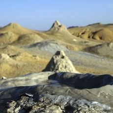
Pirgel Mud Volcano
97.9 km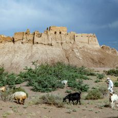
Bampur Castle
95.1 km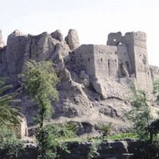
Irandegan Castle
32.1 km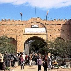
Naseri Castle (Iranshahr)
73.6 km
Gosht Historical Cemetery
67.4 km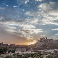
Tepe Bampur
95.1 km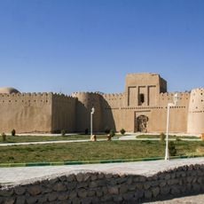
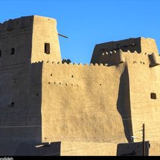
Heydarabad Castle
76.4 km
Daryācheh-ye Sadd-e Kālānī
33.3 km
Kant Castle
85 km
نگارخانه هنرهای معاصر نگاران
99.1 km
Pirgol mud volcano
98 km
Miromar salt hill
67.6 km
Rig Zargaraan Hill
76.6 km
Khaleseh Garden
95.1 km
بنای تاریخی حیدر آباد
76.4 km
باغ خالصه قلعه بمپور
95.2 km
Bampour Castle
95.1 km
Naseri Castle (Khash County)
72.6 km
Saravan Art Gallery
99.1 km
Monument
76.5 km
Monument
77.2 km
Monument
76.4 km
قلعه تاریخی گشت
67.3 km
سنگنگارههای مرزبانیک
68.4 km
سنگنگارههای مرزمانیک ۲
68.5 km
قلعه پسکوه
30.3 km
آبشارهای رزک
68.7 kmReviews
Visited this place? Tap the stars to rate it and share your experience / photos with the community! Try now! You can cancel it anytime.
Discover hidden gems everywhere you go!
From secret cafés to breathtaking viewpoints, skip the crowded tourist spots and find places that match your style. Our app makes it easy with voice search, smart filtering, route optimization, and insider tips from travelers worldwide. Download now for the complete mobile experience.

A unique approach to discovering new places❞
— Le Figaro
All the places worth exploring❞
— France Info
A tailor-made excursion in just a few clicks❞
— 20 Minutes