Daryācheh-ye Sadd-e Kālānī, Stausee im Iran
Location: Sistan and Baluchestan Province
GPS coordinates: 27.41083,61.64194
Latest update: October 26, 2025 08:17
Kūh-e Zendeh
176.9 km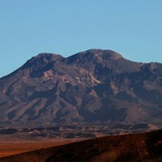
Mount Taftan
141.5 km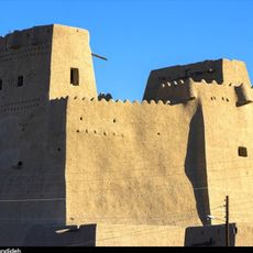
Sib and Suran Castle
47 km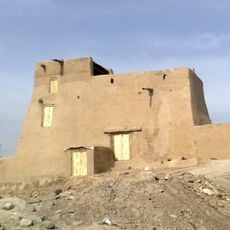
Chanef Castle
175.3 km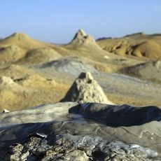
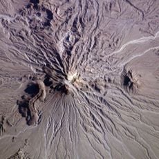
Pirgel Mud Volcano
131 km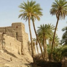
Espakeh Castle
183.2 km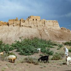
Bampur Castle
120.4 km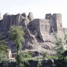
Irandegan Castle
64.5 km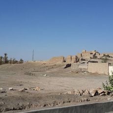
Heriduk Castle
188.6 km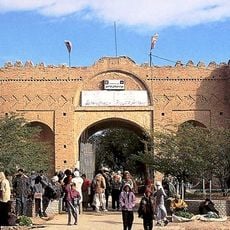
Naseri Castle (Iranshahr)
97.2 km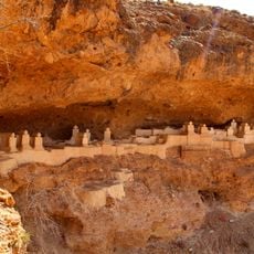
Haftad Molla Cemetery
151 km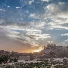
Tepe Bampur
120.4 km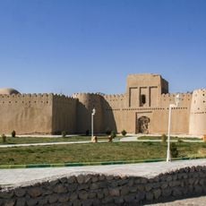
Heydarabad Castle
98.6 km
Keshigan Weir
169.9 km
Alligator center
169.5 km
Pirgol mud volcano
131.1 km
Ladiz cave
172.2 km
Rig Zargaraan Hill
43.9 km
Kant Castle
54.6 km
Nahouk Castle
73.8 km
معبد پارسی کوروش
142.3 km
بنای تاریخی حیدر آباد
98.6 km
باغ خالصه قلعه بمپور
120.4 km
Haftad Molla
151 km
Bampour Castle
120.4 km
نگارخانه هنرهای معاصر نگاران
67.4 km
Saravan Art Gallery
67.4 km
Work of art
158.2 kmReviews
Visited this place? Tap the stars to rate it and share your experience / photos with the community! Try now! You can cancel it anytime.
Discover hidden gems everywhere you go!
From secret cafés to breathtaking viewpoints, skip the crowded tourist spots and find places that match your style. Our app makes it easy with voice search, smart filtering, route optimization, and insider tips from travelers worldwide. Download now for the complete mobile experience.

A unique approach to discovering new places❞
— Le Figaro
All the places worth exploring❞
— France Info
A tailor-made excursion in just a few clicks❞
— 20 Minutes