
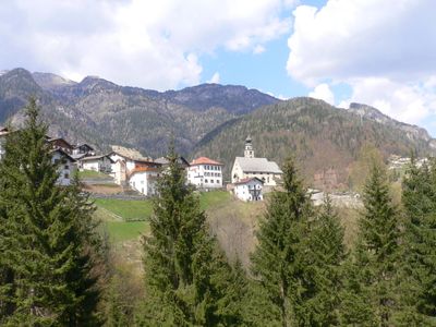
San Tomaso Agordino, Italian comune
Location: Province of Belluno
Elevation above the sea: 1,082 m
Shares border with: Alleghe, Rocca Pietore, Cencenighe Agordino, Taibon Agordino, Vallada Agordina
Website: http://comune.santomasoagordino.bl.it
GPS coordinates: 46.38333,11.98333
Latest update: March 13, 2025 21:25
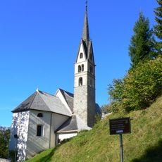
San Simon Church
4.1 km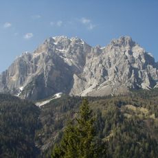
Moiazza
7.6 km
Pale di San Lucano
9.6 km
Albino Luciani Museum
5.8 km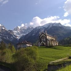
Madonna Immacolata
9.9 km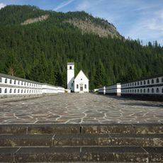
Military shrine of Pian di Salesei
9.7 km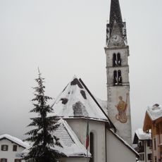
San Biagio
3.8 km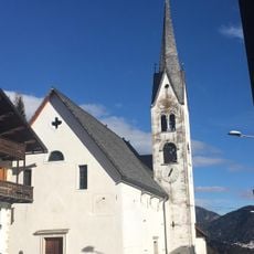
Chiesa di San Sebastiano
10 km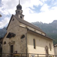
Sant'Antonio Abate
3.6 km
Monte Crot
10.2 km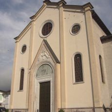
Beata Vergine Addolorata
9.5 km
Santa Lucia
7.5 km
Giardino Alpino "Antonio Segni"
5.1 km
Museo Vittorino Cazzetta
8.6 km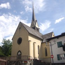
Saint Mary Magdalene church
5.8 km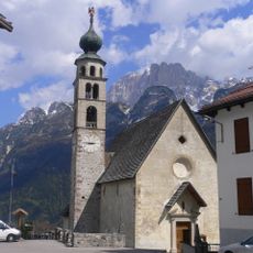
Chiesa di San Tommaso Apostolo
608 m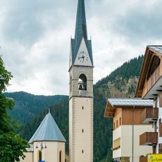
Saint Lawrence church
8.5 km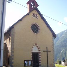
Sacro Cuore di Gesù
4.3 km
Monte San Lucano
8.3 km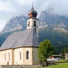
Saint Fosca church
8.8 km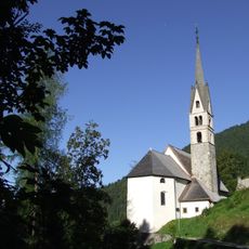
San Simon
4.1 km
Crep di Casamatta
2.6 km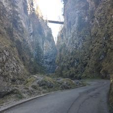
Serrai di Sottoguda
6 km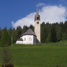
Our Lady of Health church
7.1 km
Torre di Val Grande
5.9 km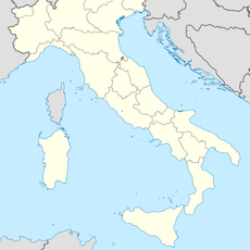
Piz Croce
2.2 kmMonte Tamer
9.9 km
Saint Pius X church
7.1 kmVisited this place? Tap the stars to rate it and share your experience / photos with the community! Try now! You can cancel it anytime.
Discover hidden gems everywhere you go!
From secret cafés to breathtaking viewpoints, skip the crowded tourist spots and find places that match your style. Our app makes it easy with voice search, smart filtering, route optimization, and insider tips from travelers worldwide. Download now for the complete mobile experience.

A unique approach to discovering new places❞
— Le Figaro
All the places worth exploring❞
— France Info
A tailor-made excursion in just a few clicks❞
— 20 Minutes