
Frassilongo, Italian comune
Location: Trentino
Elevation above the sea: 852 m
Shares border with: Fierozzo, Novaledo, Roncegno Terme, Sant'Orsola Terme, Levico Terme, Pergine Valsugana, Vignola-Falesina
Website: http://comune.frassilongo.tn.it
GPS coordinates: 46.08333,11.30000
Latest update: March 2, 2025 19:53

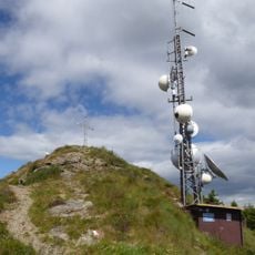
Panarotta
4.6 km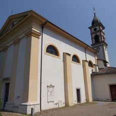
Saint Roch church
1.8 km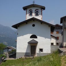
Saint Anthony of Padua church
2.3 km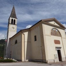
Saint Ursula church
2.6 km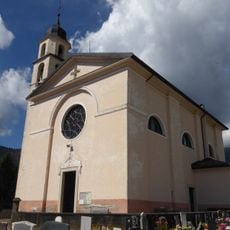
Saint Felix of Nola church
3.5 km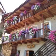
Museo Pietra viva
1.7 km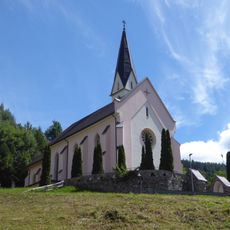
New Saint Ulrich church
690 m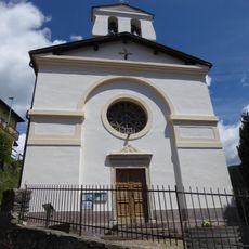
Saint Romedius church
1.7 km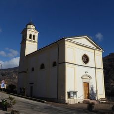
Saint Michael church
1.7 km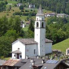
Saint Francis of Paola church
2.7 km
Capitell van Mitterpèrg
1.5 km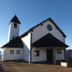
Regina Pacis church
961 m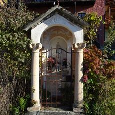
Capitell dei Molinari
677 m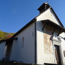
Old Saint Ulrich church
670 m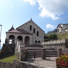
Our Lady of Snow church
4.7 km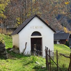
Capitell va Kasar
3.4 km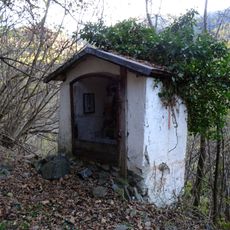
Capitell van Schrouver
1.7 km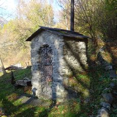
Capitell dei Omeri
1.1 km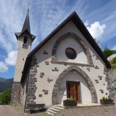
Our Lady of Help and Saint John Bosco church
2.1 km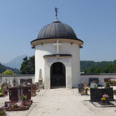
Crucifix chapel
1.9 km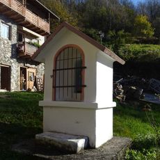
Capitell dei Laner
799 m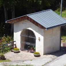
Capitell della Villa
776 m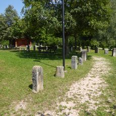
Museo del paracarro
1.7 km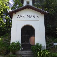
Cappella del Doss
3.1 km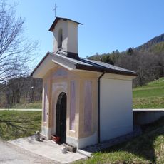
Our Lady of the Rosary and Saint Anthony chapel
2 km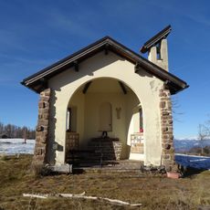
Saint Anthony of Padua chapel
3.2 km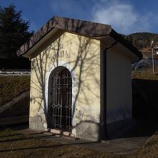
Our Lady of Mount Carmel chapel
1.7 km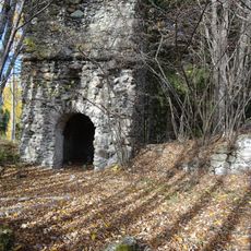
San Lorenzo
3.6 kmReviews
Visited this place? Tap the stars to rate it and share your experience / photos with the community! Try now! You can cancel it anytime.
Discover hidden gems everywhere you go!
From secret cafés to breathtaking viewpoints, skip the crowded tourist spots and find places that match your style. Our app makes it easy with voice search, smart filtering, route optimization, and insider tips from travelers worldwide. Download now for the complete mobile experience.

A unique approach to discovering new places❞
— Le Figaro
All the places worth exploring❞
— France Info
A tailor-made excursion in just a few clicks❞
— 20 Minutes