
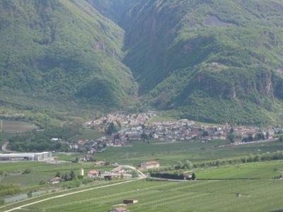
Bronzolo, municipality in South Tyrol, Italy
Location: South Tyrol
Elevation above the sea: 263 m
Shares border with: Aldein, Laives, Deutschnofen, Auer, Vadena
Website: http://comune.bronzolo.bz.it
GPS coordinates: 46.40446,11.31951
Latest update: April 22, 2025 08:29
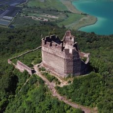
Leuchtenburg
4.2 km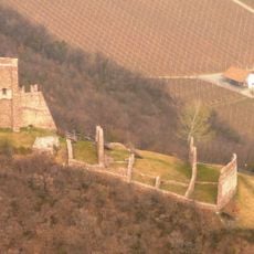
Laimburg
3.5 km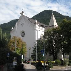
Saint Anthony the Great and Saint Nicholas church
2.9 km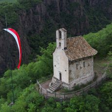
Saint Peter on the Mountain chapel
2.6 km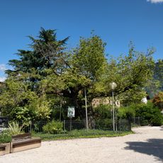
Box elder by the parish church of Laives
2.9 km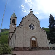
Sacred Heart of Jesus church
42 m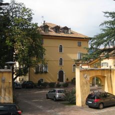
Palais Thomsen
295 m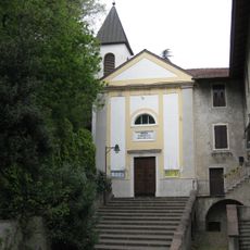
Saint Mary Magdalene church
1.6 km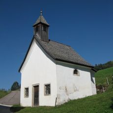
Altwidum chapel
4.5 km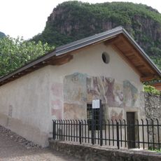
Old cemetery chapel
222 m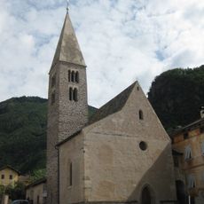
Saint Leonard church
223 m
Saint Mary of the Snow chapel
4.2 km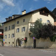
Soini
167 m
Liechtenstein Castle
2.6 km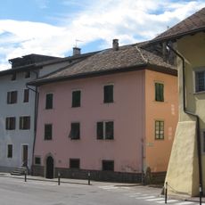
Pasolli
29 m
Sommerfrischhaus Baroni mit Maria-Schnee-Kapelle
4.2 km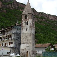
Saint James belltower
1.6 km
Schwarzer Adler in Branzoll
225 m
Altes Zollhaus in Branzoll
223 m
Ansitz Mamming
207 m
Goldenes Kreuz
19 m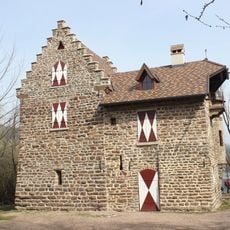
Montiggler Schlössl
3.1 km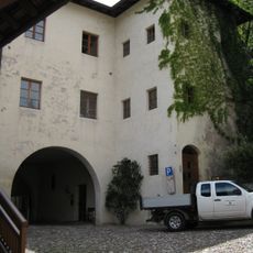
Schloss in Pfatten
1.6 km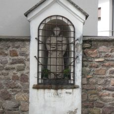
Wayside shrine in Branzoll
209 m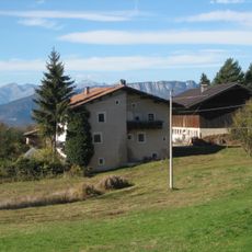
Matznell
3.5 km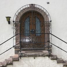
Ferrariplatz 15
207 m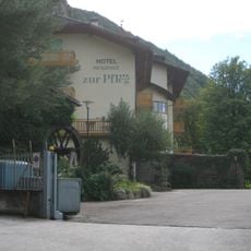
Zur Pfleg
2.7 km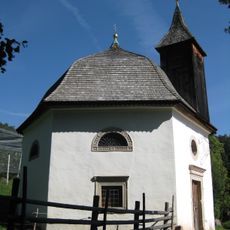
Sommerfrischhaus Baroni in Aldein
4.2 kmVisited this place? Tap the stars to rate it and share your experience / photos with the community! Try now! You can cancel it anytime.
Discover hidden gems everywhere you go!
From secret cafés to breathtaking viewpoints, skip the crowded tourist spots and find places that match your style. Our app makes it easy with voice search, smart filtering, route optimization, and insider tips from travelers worldwide. Download now for the complete mobile experience.

A unique approach to discovering new places❞
— Le Figaro
All the places worth exploring❞
— France Info
A tailor-made excursion in just a few clicks❞
— 20 Minutes