Cima d’Asta, Mountain summit in Trentino, Italy.
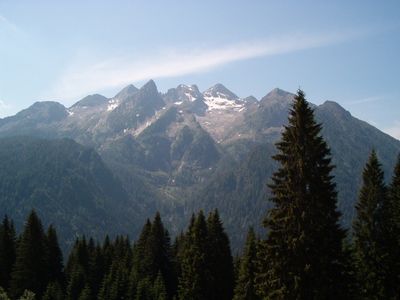
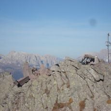
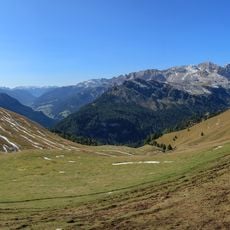
Cima d'Asta is a granite summit in the eastern part of Trentino and the highest point of the Lagorai range, reaching 2,847 meters (9,340 feet). The peak is made up of bare rock and large stone blocks that give it a rough, open appearance from all sides.
The peak was used as a surveying point in 1816 when mapmakers were charting the region for the first time in a systematic way. The first recorded ascent for recreation was made by mountaineer Gustav Euringer in 1882.
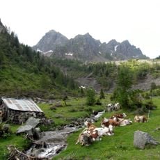
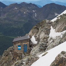
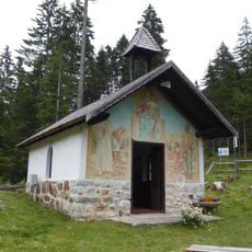
The high pastures around this peak have been shaped by shepherds who bring their animals up each summer, as they have for generations. Old stone huts scattered across the slopes are still in use during the warmer months.
The ascent is steep and crosses rocky ground, so good physical fitness and solid hiking experience are needed before setting out. Sturdy boots and protection against sudden weather changes are necessary, as conditions near the top can shift fast.
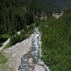
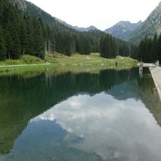
Just below the summit at 2,460 meters (8,070 feet) lies a small high-altitude lake that marks the source of the Grigno river. Many hikers pass it without realizing they are walking past the origin of an entire river.
The community of curious travelers
AroundUs brings together thousands of curated places, local tips, and hidden gems, enriched daily by 60,000 contributors worldwide.