Larice
Location: Valsavarenche
Elevation above the sea: 1,712 m
Height: 32 m
Address: Bosco di protezione di Bien (particella economica n. 59)
GPS coordinates: 45.58022,7.22562
Latest update: November 14, 2025 19:38
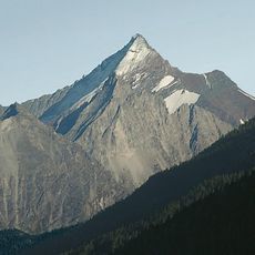
Grivola
3 km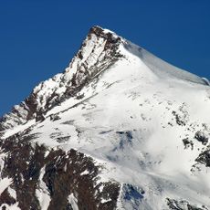
Punta Rossa della Grivola
4.3 km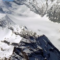
Ghiacciaio del Trajo
4.1 km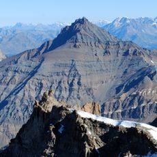
Grand Nomenon
3.6 km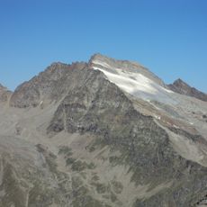
Gran Serra
5.3 km
Punta Bianca
2.7 km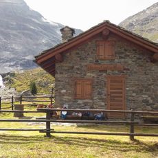
Bivacco Mario Gontier
5.4 km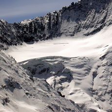
Nomenon Glacier
3.9 km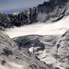
Grivoletta
4.3 km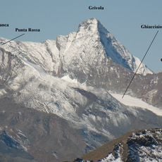
Punta Nera
3.2 km
Punta di Bioula
4.8 km
Émile Chanoux Study Centre
3.9 km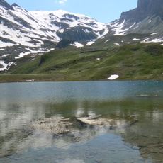
Djouan Lakes
4.4 km
Parish church of Madonna del Carmine
1.9 km
Gran Serra
5.3 km
Punta Rossa
4.3 km
Larice
25 m
Tratto Attrezzato
1.9 km
Antico Forno di Eau Rousse
2 km
Sculpture, Work of art
2 km
Scenic viewpoint
4.3 km
Scenic viewpoint
938 m
Scenic viewpoint
974 m
Scenic viewpoint
886 m
JusThijs
4.7 km
Colle della Rossa
4.6 km
Waterfall
4.3 km
Waterfall
529 mReviews
Visited this place? Tap the stars to rate it and share your experience / photos with the community! Try now! You can cancel it anytime.
Discover hidden gems everywhere you go!
From secret cafés to breathtaking viewpoints, skip the crowded tourist spots and find places that match your style. Our app makes it easy with voice search, smart filtering, route optimization, and insider tips from travelers worldwide. Download now for the complete mobile experience.

A unique approach to discovering new places❞
— Le Figaro
All the places worth exploring❞
— France Info
A tailor-made excursion in just a few clicks❞
— 20 Minutes