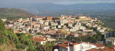
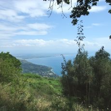
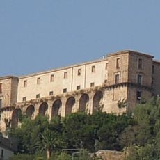
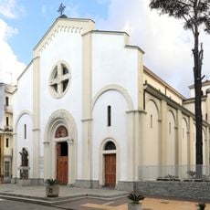
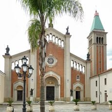
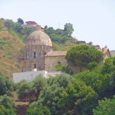
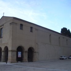
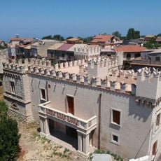
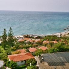
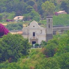
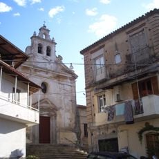
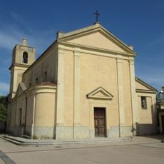
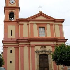
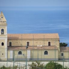
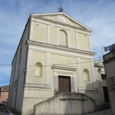
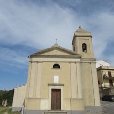
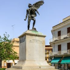
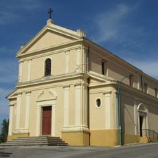
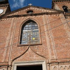
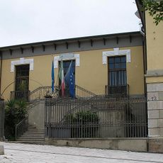
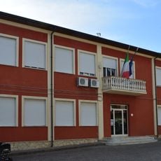
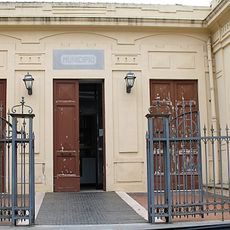
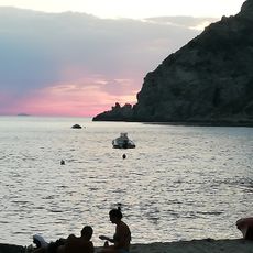
Nicotera, Italian comune
Location: Province of Vibo Valentia
Capital city: Nicotera
Elevation above the sea: 212 m
Shares border with: Candidoni, Limbadi, Rosarno, Spilinga, Joppolo
Website: http://comune.nicotera.vv.it
GPS coordinates: 38.55000,15.93333
Latest update: March 7, 2025 13:39
Monte Poro
6.3 km
Castello Ruffo di Nicotera
413 m
Sant'Ippolito Cathedral
13.9 km
Cathedral Basilica of Our Lady of the Assumption
12.9 km
Rock Settlement and Museum of Rural Life of Zungri
12.3 km
Museo archeologico Metauros
13.6 km
Capo Vaticano lighthouse
12 km
Co-Cathedral of the Assumption of Mary
411 m
Curch Michelizia
14.3 km
Chiesa dell’Annunziata
14.2 km
Castello Galluppi di Caria
11.1 km
Artistic Creations The Lighthouse
14.4 km
Torre Ruffa
13.2 km
Immacolata
14.3 km
Carmine
8.6 km
Chiesa di San Zaccaria Profeta
10.2 km
Chiesa di San Nicola Vescovo
14.3 km
Chiesa di Santa Domenica Vergine e Martire
13.9 km
Chiesa di San Giovanni Battista
9.1 km
Chiesa di San Paolo Apostolo
12.8 km
War memorial in Tropea
14.4 km
Insediamento rupestre degli Sbariati
12.2 km
Chiesa di San Pietro Apostolo
10.3 km
Sant'Antonio
14.6 km
Town hall of Laureana di Borrello
14.5 km
Town hall of Spilinga
9.1 km
Town hall of Candidoni
14.2 km
Grotticelle
11.2 kmReviews
Visited this place? Tap the stars to rate it and share your experience / photos with the community! Try now! You can cancel it anytime.
Discover hidden gems everywhere you go!
From secret cafés to breathtaking viewpoints, skip the crowded tourist spots and find places that match your style. Our app makes it easy with voice search, smart filtering, route optimization, and insider tips from travelers worldwide. Download now for the complete mobile experience.
A unique approach to discovering new places❞
— Le Figaro
All the places worth exploring❞
— France Info
A tailor-made excursion in just a few clicks❞
— 20 Minutes