Iōzen, Mountain summit in Kanazawa and Nanto, Japan.
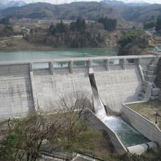
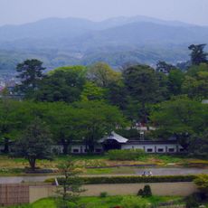
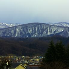
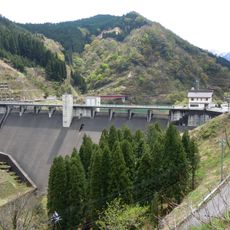
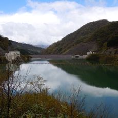
Iōzen is a mountain summit reaching 939 meters, forming a natural border between Ishikawa and Toyama prefectures in central Japan. The massif spans across two administrative regions and defines the local landscape through its prominent elevation.
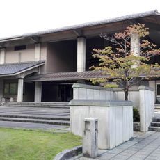
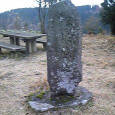
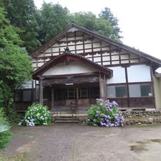
The mountain formed as a natural geographic feature and was later revered as a sacred site within the Shugendō mountain religion tradition. A nearby temple preserves objects from this ancient religious practice, including artifacts connected to the monk Taichō.
The mountain's name means 'Mountain of the Medicine King' in its written form, connecting the landscape to ancient spiritual traditions. This meaning shapes how locals view the area and its role in regional spiritual life.
A ski resort sits on the eastern slope offering winter sports options, while numerous hiking trails reach the summit during warmer months. Visitors should plan according to the season and choose between skiing or trekking, with appropriate gear for either activity.
The mountain has two distinct summit elevations: 939 meters at its highest point in Kanazawa and 847 meters at its secondary peak in Nanto. This dual-peak structure makes the massif geographically unusual for the region.
The community of curious travelers
AroundUs brings together thousands of curated places, local tips, and hidden gems, enriched daily by 60,000 contributors worldwide.