Hodenpijl, Historic hamlet in Midden-Delfland, Netherlands.
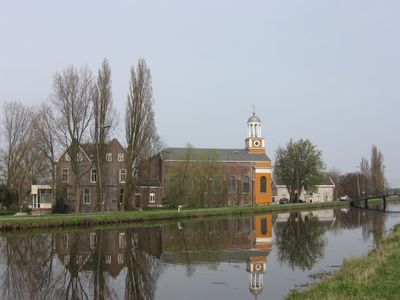
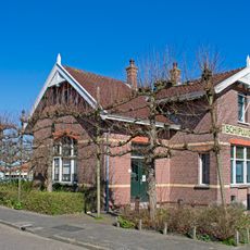
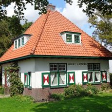
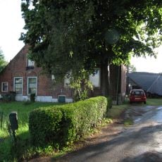
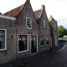
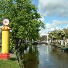
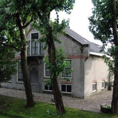
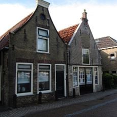
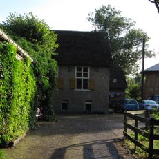
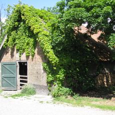
Hodenpijl is a hamlet with four buildings and two gardens situated between agricultural fields and connected by the winding Gaag waterway. The settlement includes a restaurant serving dishes prepared from its own greenhouse, garden, and farm products, along with a former church building now used as a cultural space.
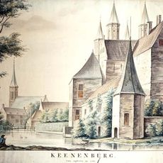
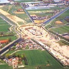
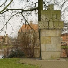
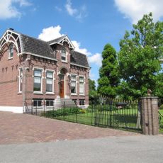
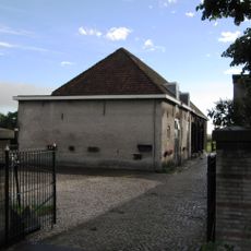
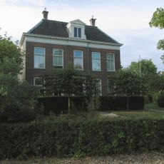
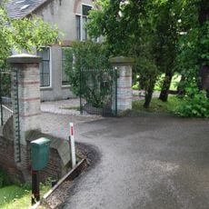
The site originated as a 13th-century castle built by the Hodenpijl family. The area underwent significant change after 1855 when the municipality merged with Schipluiden, leading to new development and transformation.
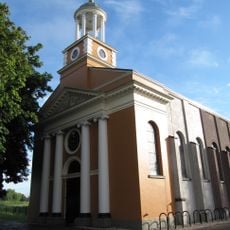
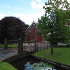
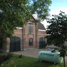
The former Catholic church now serves as a cultural venue hosting concerts, lectures, and celebrations in its restored historic hall. The community regularly gathers here for cultural events and social occasions.
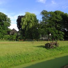
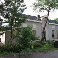
The hamlet sits amid farmland and is accessible via the Gaag waterway and country roads leading from nearby areas. Visitors should bring comfortable footwear as the rural setting requires walking through gardens and across the grounds to explore the different buildings.
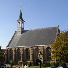
During the 16th-century Reformation, Catholics operated a hidden underground church here to practice their faith in secret. A visible church with a tower was later built at the site and still stands beside the Gaag waterway.
The community of curious travelers
AroundUs brings together thousands of curated places, local tips, and hidden gems, enriched daily by 60,000 contributors worldwide.