
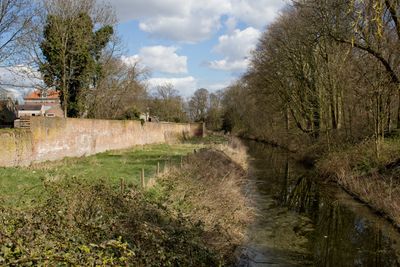
Gedeelte van de stadsmuur
Location: Zaltbommel
Address: Stadsmuur
GPS coordinates: 51.81128,5.25322
Latest update: March 2, 2025 19:44

Sint Maartenskerk Zaltbommel
110 m
Nieuwstraat 12, Zaltbommel
134 m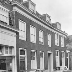
Pand onder hoog schilddak en met een doorlopende houten kroonlijst
219 m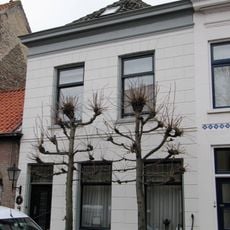
Nieuwstraat 3, Zaltbommel
209 m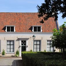
Kerkplein 19, Zaltbommel
144 m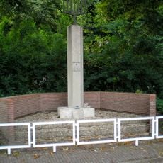
Joods monument
206 m
Kerkplein 16, Zaltbommel
24 m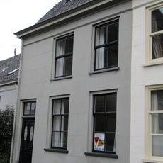
Kerkplein 26, Zaltbommel
107 m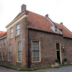
Kerkplein 13, Zaltbommel
142 m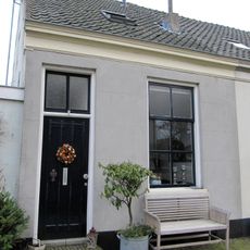
Kerkplein 30, Zaltbommel
111 m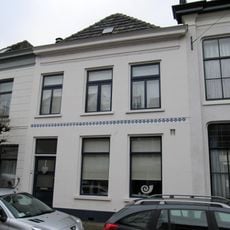
Nieuwstraat 5, Zaltbommel
205 m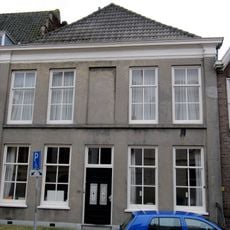
Nieuwstraat 8, Zaltbommel
153 m
Kerkstraat 40, Zaltbommel
192 m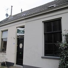
Kerkplein 28, Zaltbommel
112 m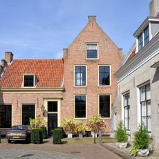
Kerkplein 17, Zaltbommel
155 m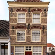
Oenselsestraat 17, Zaltbommel
238 m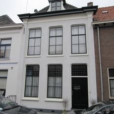
Nieuwstraat 7, Zaltbommel
199 m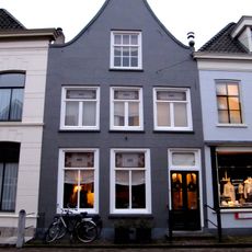
Kerkstraat 42, Zaltbommel
187 m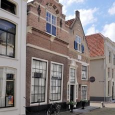
Huize de Tripper, Zaltbommel
228 m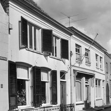
Pand met schilddak en eenvoudige, gepleisterde lijstgevel
236 m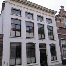
Pand, bestaande uit twee huizen onder schilddaken, in het derde kwart 19e eeuw samengetrokken achter een gepleisterde lijstgevel ter breedte van vier vensterassen
239 m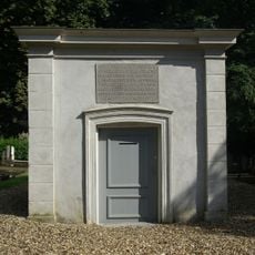
Baarhuisje
226 m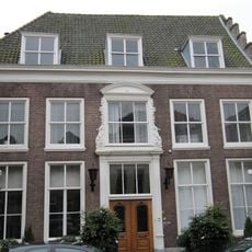
Nieuwstraat 10, Zaltbommel
142 m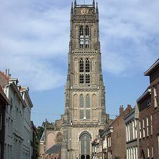
Toren van de St.Maartenskerk
112 m
Pand onder hoog schilddak en met een doorlopende houten kroonlijst
213 m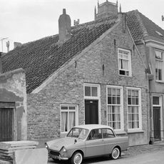
Oenselsestraat 32, Zaltbommel
232 m
Ruiterstraat 14, Zaltbommel
229 m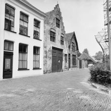
Kerkplein 6, Zaltbommel
98 mReviews
Visited this place? Tap the stars to rate it and share your experience / photos with the community! Try now! You can cancel it anytime.
Discover hidden gems everywhere you go!
From secret cafés to breathtaking viewpoints, skip the crowded tourist spots and find places that match your style. Our app makes it easy with voice search, smart filtering, route optimization, and insider tips from travelers worldwide. Download now for the complete mobile experience.

A unique approach to discovering new places❞
— Le Figaro
All the places worth exploring❞
— France Info
A tailor-made excursion in just a few clicks❞
— 20 Minutes