
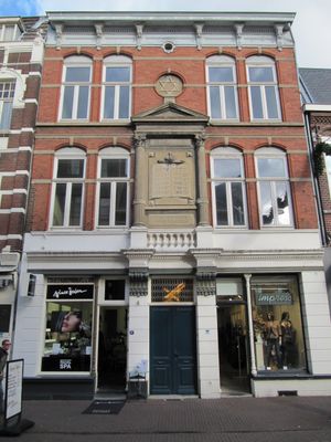
Synagogue Roermond, synagogue in Roermond, Netherlands
Location: Roermond
Address: Hamstraat 20
GPS coordinates: 51.19299,5.99082
Latest update: March 4, 2025 03:03
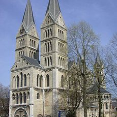
Munsterkerk
169 m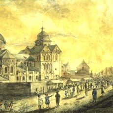
Munsterabdij
103 m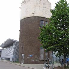
Nieuwe watertoren
228 m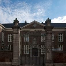
Former episcopal palace of Roermond
236 m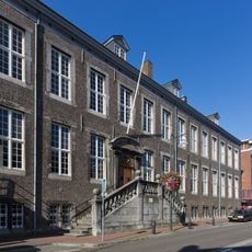
Prinsenhof
185 m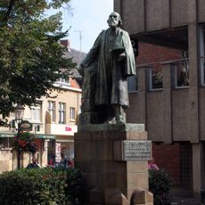
Statue of Pierre Cuypers
147 m
Schuitenberg 45, Roermond
243 m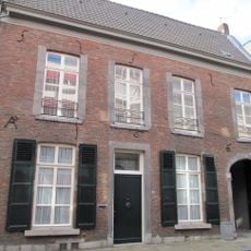
Munsterstraat 8, Roermond
261 m
Heilige Geeststraat 44, Roermond
236 m
Schoolstraat 1, Roermond
173 m
Munsterstraat 5, Roermond
274 m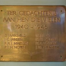
Plaquette in Station Roermond
136 m
Klein College
228 m
Hamstraat 20B, Roermond
11 m
Munsterstraat 10, Roermond
244 m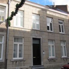
Munsterstraat 7, Roermond
265 m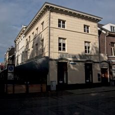
Munsterplein 17, Roermond
198 m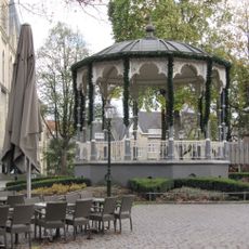
Bandstand Munsterplein
198 m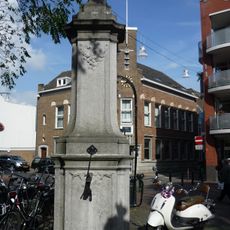
Pump Munsterplein Roermond
151 m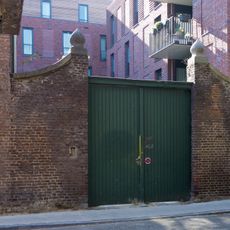
Garden wall with pillars at Heilige Geeststraat 24
238 m
Abdijhof 6, Roermond
77 m
Veldstraat 28, Roermond
110 m
Willem II Singel 21, Roermond
253 m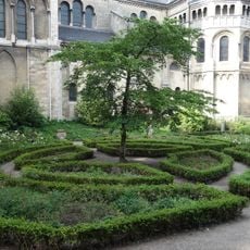
Site with remains of Munsterabdij
159 m
Willem II Singel 2, Roermond
131 m
Kloosterwandstraat 6, Roermond
191 m
Godsweerdersingel 35, Roermond
248 m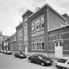
Begijnhofstraat 28, Roermond
248 mReviews
Visited this place? Tap the stars to rate it and share your experience / photos with the community! Try now! You can cancel it anytime.
Discover hidden gems everywhere you go!
From secret cafés to breathtaking viewpoints, skip the crowded tourist spots and find places that match your style. Our app makes it easy with voice search, smart filtering, route optimization, and insider tips from travelers worldwide. Download now for the complete mobile experience.

A unique approach to discovering new places❞
— Le Figaro
All the places worth exploring❞
— France Info
A tailor-made excursion in just a few clicks❞
— 20 Minutes