
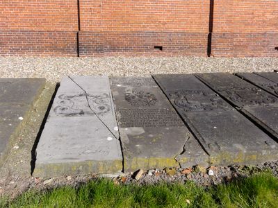
Hervormde kerk, grafzerken, Rijksmonument op bij Kloosterweg 13
Location: Eemsmond
Part of: Kerkcomplex Rottum
GPS coordinates: 53.38336,6.62094
Latest update: March 9, 2025 22:29
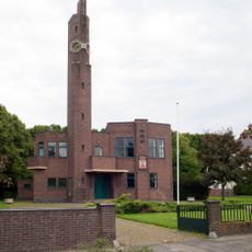
Raadhuis Usquert
2.4 km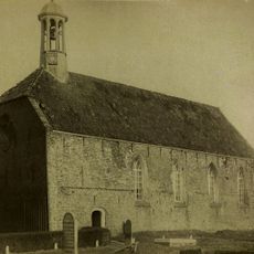
St. Juliana's Abbey
12 m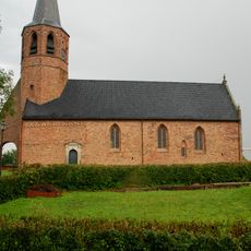
Nederlands Hervormde Kerk
2.2 km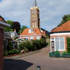
Hervormde Kerk Usquert
2.2 km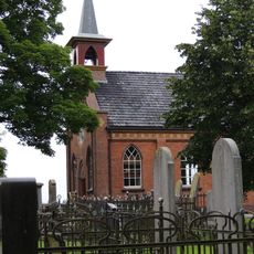
Kerk van Rottum
5 m
Langenhuis
2.4 km
Eva
2.4 km
Grote Geert
2.1 km
Kokshuis
2.3 km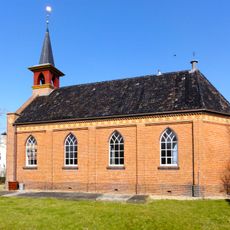
Hervormde kerk
5 m
Former town hall of Kantens
2.2 km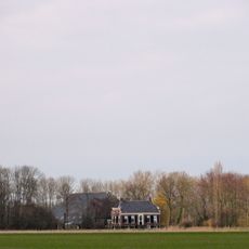
Westerhuisheerdt
2 km
Kloosterweg 17, Rottum
65 m
Winkelwoning met eclectische invloeden
2.3 km
Kloosterwijtwerd, Usquert
1.8 km
Biwema
2.2 km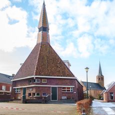
Gereformeerde kerk met aangebouwde kosterswoning
2.1 km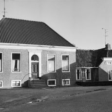
Raadhuisstraat 21, Usquert
2.4 km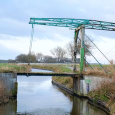
Ophaalbrug over de Usquerdermaar
2 km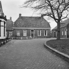
Kerkstraat 7, Usquert
2.3 km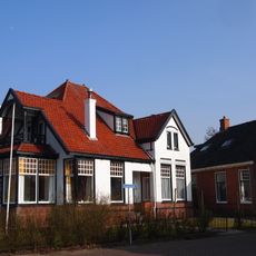
Rentenierswoning met aangebouwd koetshuis
2.3 km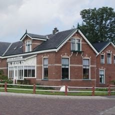
Huize de Landbouw
2.2 km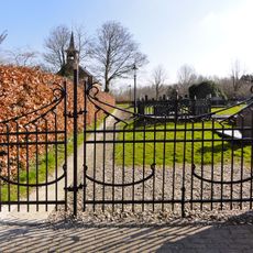
Hervormde kerk, toegangshek
9 m
Versterkte dorpswierde met resten van het benedictijnenklooster Sint Juliana
63 m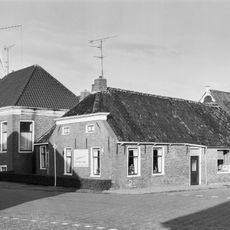
Zijlsterweg 1, Usquert
2.4 km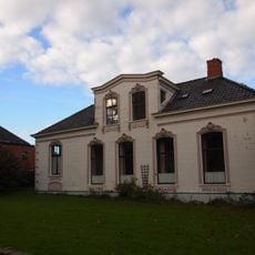
Hervormde pastorie
2.3 km
Kona
2.4 km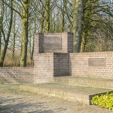
Oorlogsmonument
2.4 kmReviews
Visited this place? Tap the stars to rate it and share your experience / photos with the community! Try now! You can cancel it anytime.
Discover hidden gems everywhere you go!
From secret cafés to breathtaking viewpoints, skip the crowded tourist spots and find places that match your style. Our app makes it easy with voice search, smart filtering, route optimization, and insider tips from travelers worldwide. Download now for the complete mobile experience.

A unique approach to discovering new places❞
— Le Figaro
All the places worth exploring❞
— France Info
A tailor-made excursion in just a few clicks❞
— 20 Minutes