
Op weg naar vrijheid, war memorial in Landgraaf, the Netherlands
Location: Landgraaf
Inception: 2014
Official opening: December 12, 2014
Address: Veeweg 73, 6374 AN, Landgraaf (Landgraaf), Limburg, Nederland
GPS coordinates: 50.91864,6.04056
Latest update: May 7, 2025 02:06
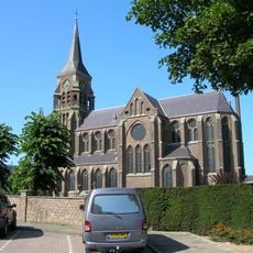
Sint-Jozefkerk
884 m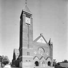
Heilig Hart Van Jezuskerk
1.4 km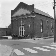
Sjpaans Kentje
1.6 km
Onze-Lieve-Vrouw Hulp der Christenenkerk
1.5 km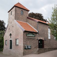
Oude Parochiekerk Waubach
736 m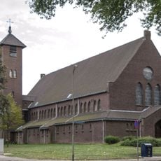
Sint-Theresiakerk
794 m
Sint-Bernadettekerk
702 m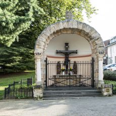
Kapel Groenstraat
1.3 km
Gatestraat 70, Landgraaf
1.6 km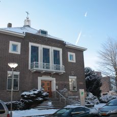
Former town hall Ubach over Worms
841 m
De Bieleman
757 m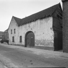
Charles Frehenstraat 36, Landgraaf
540 m
Emmastraat 20, Landgraaf
1.3 km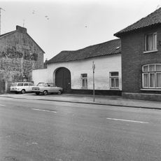
Groenstraat 128, Landgraaf
1.3 km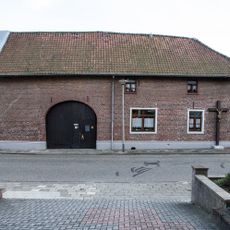
Groenstraat 70, Landgraaf
1.2 km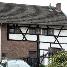
Groenstraat 123, Landgraaf
1.3 km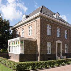
Vicarage Heilig Hart van Jezuskerk
1.4 km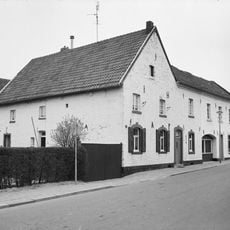
Charles Frehenstraat 20, Landgraaf
635 m
Charles Frehenstraat 22, Landgraaf
625 m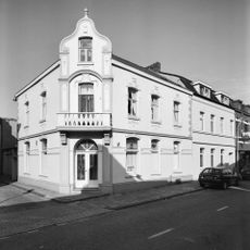
Heigank 24, Landgraaf
1.5 km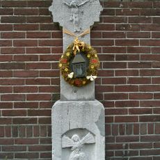
Wayside cross Maastrichterlaan-Kantstraat, Landgraaf
616 m
Charles Frehenstraat 2, Landgraaf
779 m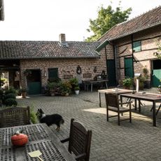
Groenstraat 139, Landgraaf
1.3 km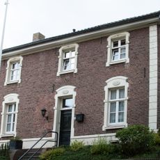
Kerkberg 7, Landgraaf
709 m
Groenstraat 126, Landgraaf
1.3 km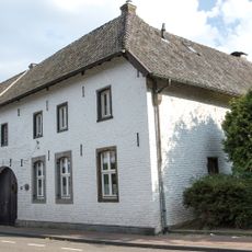
Grensstraat 129, Landgraaf
614 m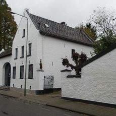
Grensstraat 87, Landgraaf
832 m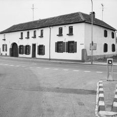
Kantstraat 2, Landgraaf
406 mReviews
Visited this place? Tap the stars to rate it and share your experience / photos with the community! Try now! You can cancel it anytime.
Discover hidden gems everywhere you go!
From secret cafés to breathtaking viewpoints, skip the crowded tourist spots and find places that match your style. Our app makes it easy with voice search, smart filtering, route optimization, and insider tips from travelers worldwide. Download now for the complete mobile experience.

A unique approach to discovering new places❞
— Le Figaro
All the places worth exploring❞
— France Info
A tailor-made excursion in just a few clicks❞
— 20 Minutes