
“70 jaar Bevrijding”, war memorial in Brunssum, the Netherlands
Location: Brunssum
Inception: 2014
Official opening: September 9, 2014
Address: Dorpsstraat, Brunssum (Brunssum), Limburg, Nederland
GPS coordinates: 50.94946,5.96889
Latest update: May 7, 2025 10:38
Gregoriuskerk
143 m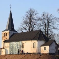
Saint Clement Church
1 km
Castle Op Genhoes
980 m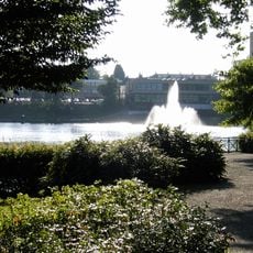
Vijverpark
770 m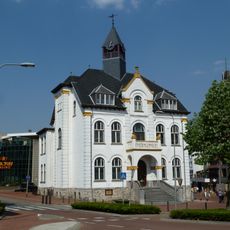
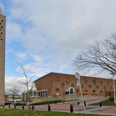
Raadhuis Brunssum
556 m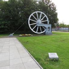
Herdenkingsmonument Verongelukte Mijnwerkers
1.4 km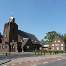
Sint-Vincentius a Paolokerk
1.1 km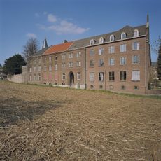
Huize Tieder
1 km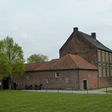
Schinvelder Huuske
1.7 km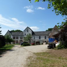
Onderste Hof
1.1 km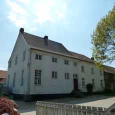
Bovenste Hof
1.4 km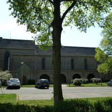
Onbevlekt Hart van Mariakerk
691 m
Brunssummer Molen
1.2 km
Lourdesgrot Clemensdomein
1.1 km
Bouwbergstraat 78, Brunssum
1.5 km
Bovenste Molen
1.6 km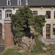
Heilig-Hartkapel
1.1 km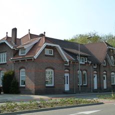
Akerstraat 2-6, Brunssum
1.5 km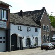
Dorpstraat 12, Brunssum
576 m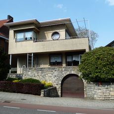
Lindestraat 136, Brunssum
597 m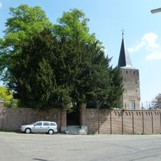
Graveyard wall Sint-Clemenskerk
1.1 km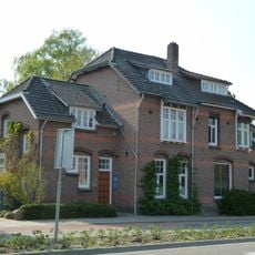
Akerstraat 8-10, Brunssum
1.5 km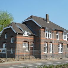
Akerstraat 5-7, Brunssum
1.5 km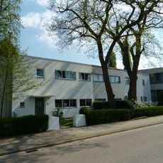
Kruisbergstraat 29, Brunssum
942 m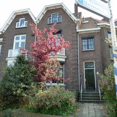
Bodemplein 36-42, Brunssum
1.4 km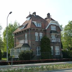
Akerstraat 12, Brunssum
1.5 km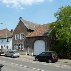
Dorpstraat 10, Brunssum
587 m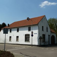
Merkelbeekerstraat 89, Brunssum
979 mReviews
Visited this place? Tap the stars to rate it and share your experience / photos with the community! Try now! You can cancel it anytime.
Discover hidden gems everywhere you go!
From secret cafés to breathtaking viewpoints, skip the crowded tourist spots and find places that match your style. Our app makes it easy with voice search, smart filtering, route optimization, and insider tips from travelers worldwide. Download now for the complete mobile experience.

A unique approach to discovering new places❞
— Le Figaro
All the places worth exploring❞
— France Info
A tailor-made excursion in just a few clicks❞
— 20 Minutes