
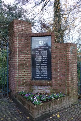
Oorlogsmonument, war memorial in Spanbroek, the Netherlands
Location: Opmeer
Address: Hertog Willemweg, 1715 EL, Spanbroek (Opmeer), Noord-Holland, Nederland
GPS coordinates: 52.69798,4.94430
Latest update: March 5, 2025 08:13

Scheringa Museum of Realist Art
1.1 km
Raadhuis
24 m
Kaagmolen
1.7 km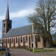
Nederlands Hervormde Kerk
35 m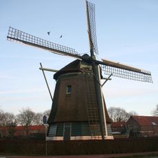
De Lastdrager
2.3 km
Sint-Bonifatiustsjerke
1.2 km
Raadhuis, Hoogwoud
2.3 km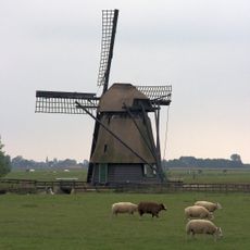
De Westerveer
1.3 km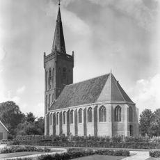
Nederlands Hervormde Kerk, Hoogwoud
2.2 km
Sint-Jehannes Bertetsjerke
1.6 km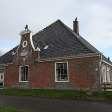
Zandwerven 45, Spanbroek
2.2 km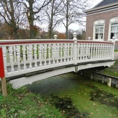
Voetbrug behorende bij de rentenierswoning
2.2 km
Bonifaciuskerk
1.2 km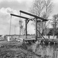
Wipbrug
1.2 km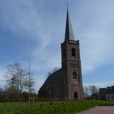
Nederlands Hervormde Kerk, Spanbroek
35 m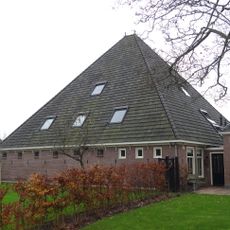
Stolpschuur
2.2 km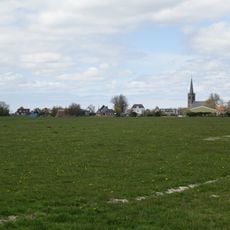
Terrein waarin sporen van bewoning
398 m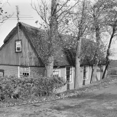
Hogeweg 1, Opmeer
1.1 km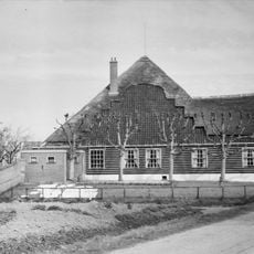
De Willemshoeve, Hoogwoud
2.4 km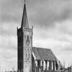
Toren der Hervormde Kerk
2.2 km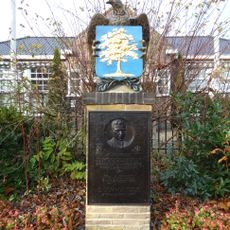
Oorlogsmonument
2.3 km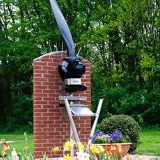
Short Stirling-monument
1.1 km
Beukenhof
102 m
Herenweg 46, Hoogwoud
2.2 km
Farm at Wadway 33 in Spanbroek
2.5 km
Spanbroekerweg 220, Spanbroek
2.2 km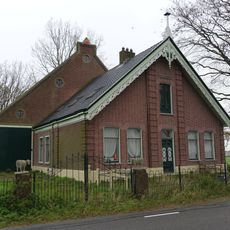
Hoeve Arko
2.1 km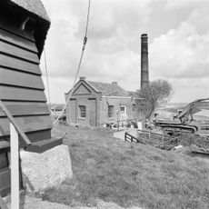
Gemaal Kaagpolder
1.7 kmReviews
Visited this place? Tap the stars to rate it and share your experience / photos with the community! Try now! You can cancel it anytime.
Discover hidden gems everywhere you go!
From secret cafés to breathtaking viewpoints, skip the crowded tourist spots and find places that match your style. Our app makes it easy with voice search, smart filtering, route optimization, and insider tips from travelers worldwide. Download now for the complete mobile experience.

A unique approach to discovering new places❞
— Le Figaro
All the places worth exploring❞
— France Info
A tailor-made excursion in just a few clicks❞
— 20 Minutes