
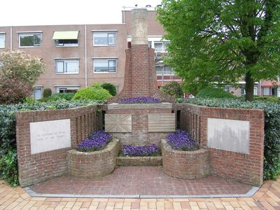
Monument 1940-1945, war memorial in Mijdrecht, the Netherlands
Location: De Ronde Venen
Inception: 1945
Official opening: 1945
Address: Dorpsstraat 75, 3641 EB, Mijdrecht (De Ronde Venen), Utrecht, Nederland
GPS coordinates: 52.20905,4.86663
Latest update: March 3, 2025 02:33
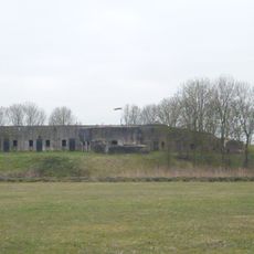
Fort bij Uithoorn
2.9 km
Watertoren (Mijdrecht)
410 m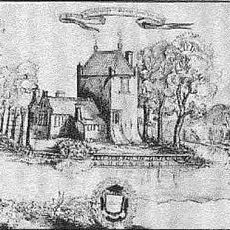
Huis te Mijdrecht
177 m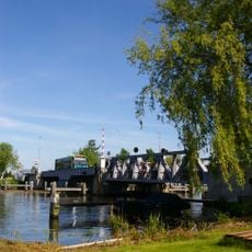
Busbrug Uithoorn
3.5 km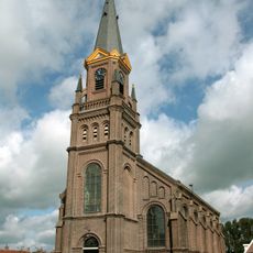
Hervormde kerk
3 km
Eerste bedijking der Mijdrechtse droogmakerij
2.1 km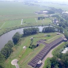
Tweede bedijking der Mijdrechtse droogmakerij
2.3 km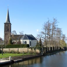
Janskerk
103 m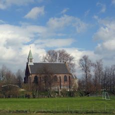
Nederlandse Hervormde Kerk, Waverveen
2.6 km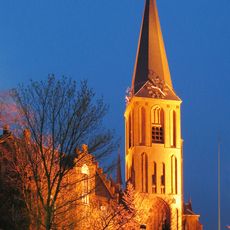
Sint-Jan de Doperkerk
1.1 km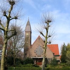
Kerk
3.3 km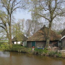
Provincialeweg 14, Vinkeveen
2.7 km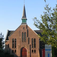
Ontmoetingskerk, Wilnis
3 km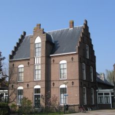
Driehuisplein 3, Mijdrecht
1.1 km
Dorpsstraat 23, Mijdrecht
183 m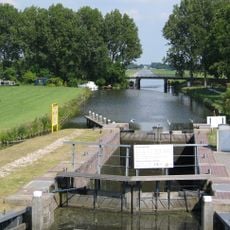
Pondskoekersluis
3.2 km
Hervormde kerk vanwege eenklaviers orgel
3 km
Groot Mijdrechtstraat 81, Mijdrecht
884 m
Industrieweg 30, Mijdrecht
516 m
Boerderij. Langhuis, oude roedeverdeling in vensters
3.5 km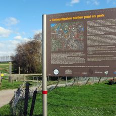
Grenspalen in De Ronde Venen
1.8 km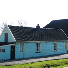
Houten, dubbele arbeiderswoning
548 m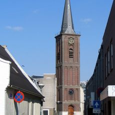
Toren Hervormde Kerk
99 m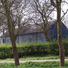
Genieloods
3 km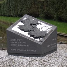
Monument voor Canadese Militairen
3 km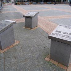
Oorlogsmonument
181 m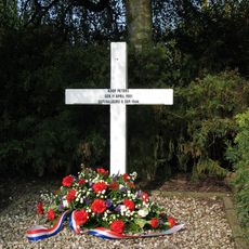
Herdenkingskruis fusillade Koop Peters
966 m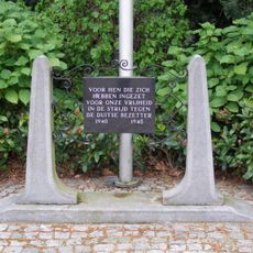
Verzetsmonument
2.9 kmVisited this place? Tap the stars to rate it and share your experience / photos with the community! Try now! You can cancel it anytime.
Discover hidden gems everywhere you go!
From secret cafés to breathtaking viewpoints, skip the crowded tourist spots and find places that match your style. Our app makes it easy with voice search, smart filtering, route optimization, and insider tips from travelers worldwide. Download now for the complete mobile experience.

A unique approach to discovering new places❞
— Le Figaro
All the places worth exploring❞
— France Info
A tailor-made excursion in just a few clicks❞
— 20 Minutes