
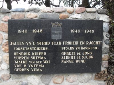
Plaquette in het gemeentehuis, war memorial in Koudum, the Netherlands
Location: Súdwest-Fryslân
Inception: 1970
Official opening: May 5, 1970
Address: Dammenseweg 16, 8723 CN, Koudum (Súdwest-Fryslân), Friesland, Nederland
GPS coordinates: 52.91328,5.45199
Latest update: March 13, 2025 17:20
De Vlijt
691 m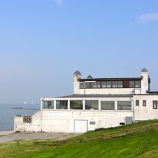
Badpaviljoen
3.9 km
Nicolaaskerk, Hemelum
3.7 km
Russisch orthodox klooster
3.5 km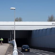
Galamadammen Akwadukt
1.7 km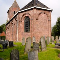
Sint-Lebuïnuskerk, Molkwerum
3.9 km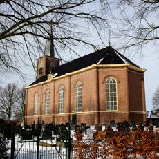
Martinikerk, Koudum
265 m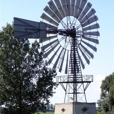
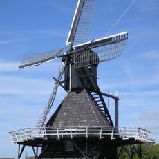
Windmotor Molkwerum Koudum
1.5 km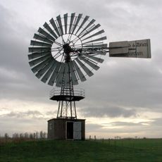
De Skarmolen
3 km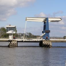
Warnsebrug
4.5 km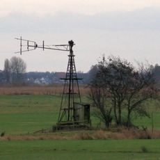
Windmotor Koudum 2
1.6 km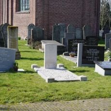
Hemelumer Oldeferd (Molkwerum) Protestant Churchyard
3.8 km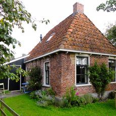
Lútzenpôlle 5, Molkwerum
3.8 km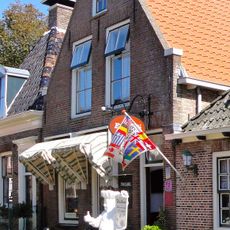
Nieuwe Weide 7
4.6 km
Oosterdijk 1
3.9 km
Nieuwe Weide 1
4.6 km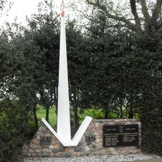
Monument op de Algemene begraafplaats
320 m
Nieuwstad 12
4.6 km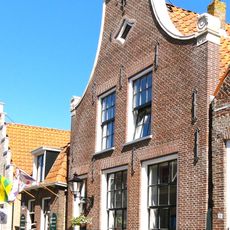
Nieuwstad 22
4.6 km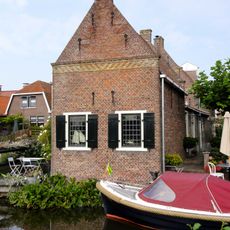
Nieuwstad 24
4.6 km
Nieuwstad 32
4.6 km
Nieuwstad 34
4.6 km
Nieuwstad 36
4.6 km
Nieuwe Weide 5
4.6 km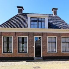
Nieuwstad 5
4.7 km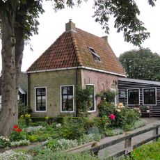
Hellingstrjitte 8, Molkwerum
3.8 km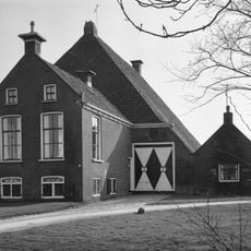
Kop-rompboerderij met onderkelderd voorhuis met zesruitsvensters en twee schoorstenen
1.1 km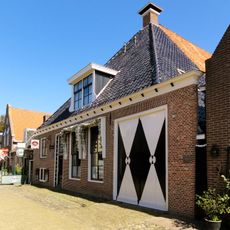
Nieuwe Weide 9, Hindeloopen
4.6 kmVisited this place? Tap the stars to rate it and share your experience / photos with the community! Try now! You can cancel it anytime.
Discover hidden gems everywhere you go!
From secret cafés to breathtaking viewpoints, skip the crowded tourist spots and find places that match your style. Our app makes it easy with voice search, smart filtering, route optimization, and insider tips from travelers worldwide. Download now for the complete mobile experience.

A unique approach to discovering new places❞
— Le Figaro
All the places worth exploring❞
— France Info
A tailor-made excursion in just a few clicks❞
— 20 Minutes