
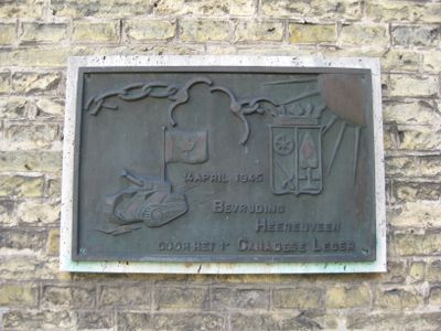
Bevrijdingsplaquette, war memorial in Heerenveen, the Netherlands
Location: Heerenveen
Inception: 1970
Official opening: April 4, 1970
Address: Crackstraat 2, 8440 GA, Heerenveen (Heerenveen), Friesland, Nederland
GPS coordinates: 52.96116,5.92142
Latest update: March 10, 2025 05:31

Crackstate
36 m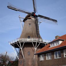
Welgelegen
328 m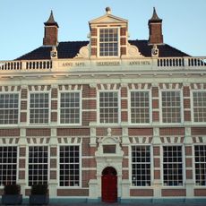
Oenemastate
256 m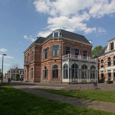
Posthuis Theater
88 m
Heilige Geestkerk
48 m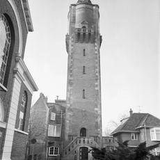
Water tower, Heerenveen
244 m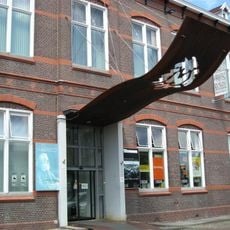
Museum Heerenveen
327 m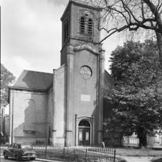
Hervormde kerk, Heerenveen
100 m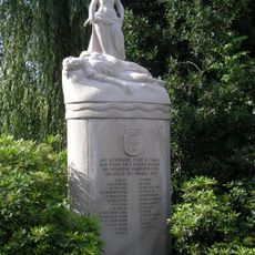
Oorlogsmonument Heerenveen
567 m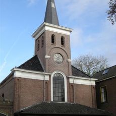
Kerk aan de Fok
337 m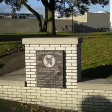
Indië-monument
417 m
Category:Amelius van Oenemapark
107 m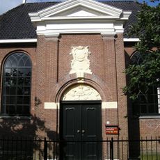
Doopsgezinde kerk, Heerenveen
225 m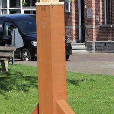
Grensleeuw
132 m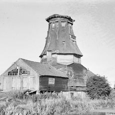
Siebenga's molen
572 m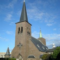
Church complex Heilige Geestkerk
54 m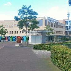
Town hall Heerenveen
60 m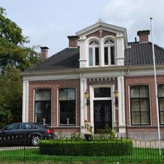
Fok 46, Heerenveen
375 m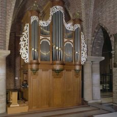
Heilige Geestkerk, orgel
48 m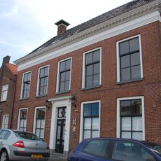
Nieuwburen 12, Heerenveen
348 m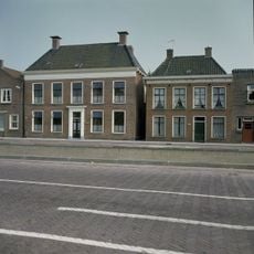
Nieuwburen 10, Heerenveen
332 m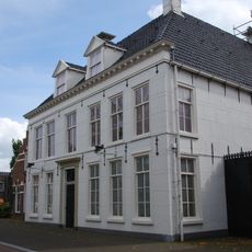
Van Harenspad 50
287 m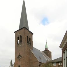
Pfarrhaus Heilig Geist Kirche
48 m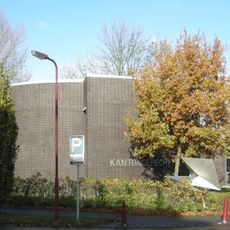
Thorbeckestraat 1
401 m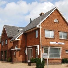
K R Poststraat 7, Heerenveen
138 m
Lindegracht 23, Heerenveen
200 m
Fok 50, Heerenveen
323 m
Woonhuis Breedpad 21, Heerenveen
181 mReviews
Visited this place? Tap the stars to rate it and share your experience / photos with the community! Try now! You can cancel it anytime.
Discover hidden gems everywhere you go!
From secret cafés to breathtaking viewpoints, skip the crowded tourist spots and find places that match your style. Our app makes it easy with voice search, smart filtering, route optimization, and insider tips from travelers worldwide. Download now for the complete mobile experience.

A unique approach to discovering new places❞
— Le Figaro
All the places worth exploring❞
— France Info
A tailor-made excursion in just a few clicks❞
— 20 Minutes