
Phoenix, war memorial in Arnhem, the Netherlands
Location: Arnhem
Inception: 1955
Creator: Ossip Zadkine
Official opening: 1955
Address: Koningstraat, 6811 DE, Arnhem (Arnhem), Gelderland, Nederland
GPS coordinates: 51.98095,5.91003
Latest update: March 13, 2025 11:13

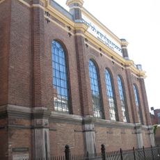
Synagoge, Arnhem
147 m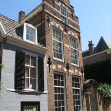
Presickhaeffs Huis
133 m
Kerkstraat 32, Arnhem
83 m
Kerkstraat 10, Arnhem
75 m
Bakkerstraat 17, Arnhem
133 m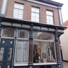
Kerkstraat 45, Arnhem
61 m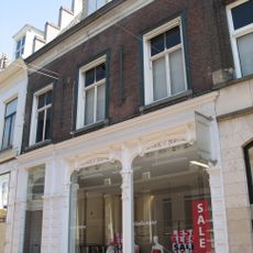
Bakkerstraat 5, Arnhem
149 m
Kerkstraat 34, Arnhem
80 m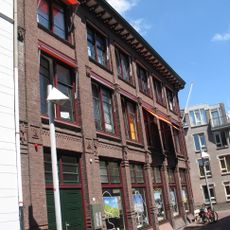
Kerkstraat 23
126 m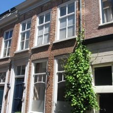
Kerkstraat 11, Arnhem
78 m
Bakkerstraat 21
149 m
Bakkerstraat 4, Arnhem
153 m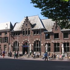
Van Ranzow 's Bank
148 m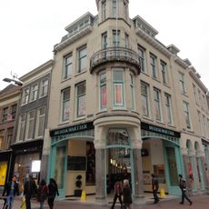
Winkelwoning
138 m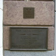
Monument aan de Bakkerstraat
146 m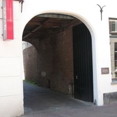
Poort naar Bakkerstraat 19
86 m
Bakkerstraat 19
139 m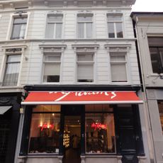
Bakkerstraat 9, Arnhem
138 m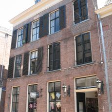
Bakkerstraat 12B, Arnhem
129 m
Kerkstraat 9, Arnhem
62 m
Winkel met bovenwoning
98 m
Bakkerstraat 18
135 m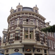
Winkel met bovenwoningen, comestibles- en delicatessenhandel
120 m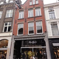
Bakkerstraat 7, Arnhem
142 m
Voormalige winkel met magazijn, nu winkel met bovenwoning
148 m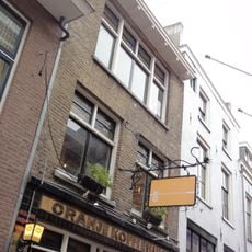
Oranje Koffiehuis
32 m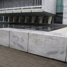
Monument aan de Koningstraat
0 m
Twee winkels met bovenwoning gebouwd
28 mReviews
Visited this place? Tap the stars to rate it and share your experience / photos with the community! Try now! You can cancel it anytime.
Discover hidden gems everywhere you go!
From secret cafés to breathtaking viewpoints, skip the crowded tourist spots and find places that match your style. Our app makes it easy with voice search, smart filtering, route optimization, and insider tips from travelers worldwide. Download now for the complete mobile experience.

A unique approach to discovering new places❞
— Le Figaro
All the places worth exploring❞
— France Info
A tailor-made excursion in just a few clicks❞
— 20 Minutes