
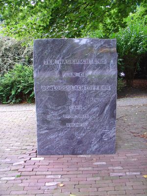
Oorlogsmonument, war memorial in Valthermond, the Netherlands
Location: Borger-Odoorn
Address: Vrijheidslaan, 7876 GJ, Valthermond (Borger-Odoorn), Drenthe, Nederland
GPS coordinates: 52.87446,6.94900
Latest update: March 3, 2025 19:09
Onder de linden
404 m
D31
5.3 km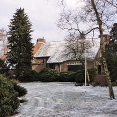
Boerderij Berkenhoeve, Valthermond
5.6 km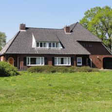
Noorderdiep 57
2.3 km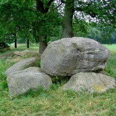
D36
5.3 km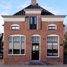
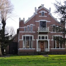
Vervenerswoning, Valthermond
2.8 km
D37
5.3 km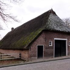
Bebinghehoes
5.7 km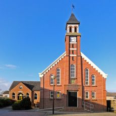
Baptistenkerk
3.9 km
Golfpark Exloo
4.5 km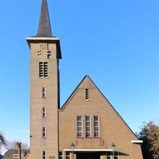
Hervormde kerk
4.1 km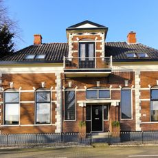
Dwarshuisboerderij
5.4 km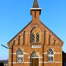
Gereformeerde kerk van Tweede Exloërmond
4 km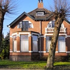
Zuiderdiep 190
4.3 km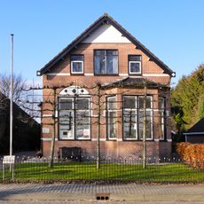
Zuiderdiep 192
4.3 km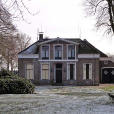
Hoofdstraat 29-31, Exloo
5.5 km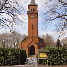
Kerk nummer 11
4.2 km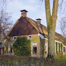
Hallenhuisboerderij aan de Schaapskuilweg 2
5.6 km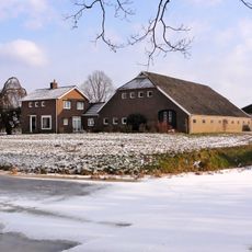
Zuiderdiep 527
4.6 km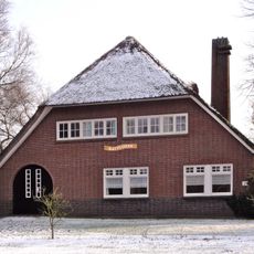
Zuiderdiep 309
912 m
Groene Kruisgebouw
3.8 km
Zuiderdiep 492
4 km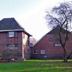
Villaboerderij
3.7 km
Zuiderdiep 493
4.1 km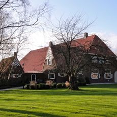
Villaboerderij
2.7 km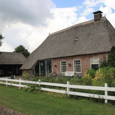
Schoolstraat 20, Valthe
5.8 km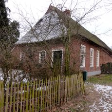
Schoolstraat 1, Exloo
5.8 km
Monument bij het gemeentehuis
5.8 kmVisited this place? Tap the stars to rate it and share your experience / photos with the community! Try now! You can cancel it anytime.
Discover hidden gems everywhere you go!
From secret cafés to breathtaking viewpoints, skip the crowded tourist spots and find places that match your style. Our app makes it easy with voice search, smart filtering, route optimization, and insider tips from travelers worldwide. Download now for the complete mobile experience.

A unique approach to discovering new places❞
— Le Figaro
All the places worth exploring❞
— France Info
A tailor-made excursion in just a few clicks❞
— 20 Minutes