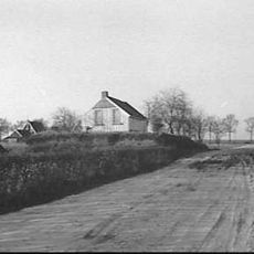
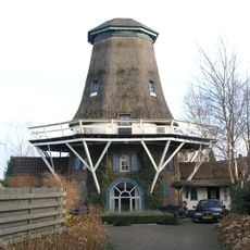
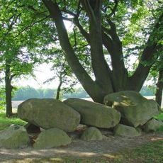
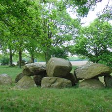
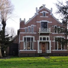
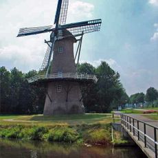
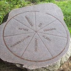
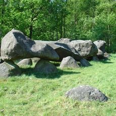
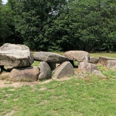
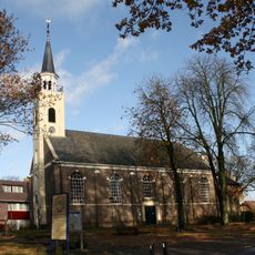
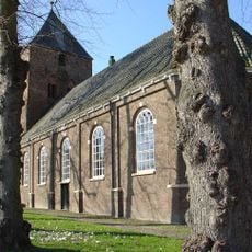
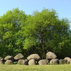
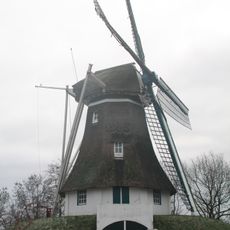
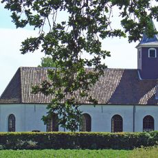
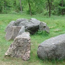
Borger-Odoorn, municipality in the Netherlands
Location: Drenthe
Inception: January 1, 1998
Elevation above the sea: 23 m
Shares border with: Stadskanaal, Emmen, Aa en Hunze, Coevorden
Phone: +310591
Email: gemeente@borger-odoorn.nl
Website: https://borger-odoorn.nl
GPS coordinates: 52.86670,6.85000
Latest update: March 9, 2025 17:54
Broken Circle / Spiral Hill
8.3 km
Drouwenerzand
10.9 km
D27
7.9 km
Boomkroonpad
11.7 km
Ellert en Brammert
6.9 km
Hunebedden Centrum Borger
8 km
D49
7.3 km
Onderduikershol Valtherbos
4.1 km
Theater Geert Teis
15.4 km
Water tower Stadskanaal
14.4 km
Buitencentrum Boomkroonpad
11.6 km
Emmer-Erfscheidenveen
11.5 km
Aardappelmeelfabriek
13.7 km
Molen van Schoonoord
6.6 km
D21
9.3 km
D28
7.1 km
Onder de linden
7.1 km
De Juffer
13.3 km
Zevenmarkensteen
7.3 km
D26
9.9 km
D30
2.8 km
Nederlands Hervormde Kerk, Odoorn
1.8 km
Willibrordkerk
7.6 km
D19
10.4 km
De Hondsrug
7.1 km
Onze-Lieve-Vrouwekerk (Gasselte)
12.5 km
D31
1.4 km
D34
2.9 kmReviews
Visited this place? Tap the stars to rate it and share your experience / photos with the community! Try now! You can cancel it anytime.
Discover hidden gems everywhere you go!
From secret cafés to breathtaking viewpoints, skip the crowded tourist spots and find places that match your style. Our app makes it easy with voice search, smart filtering, route optimization, and insider tips from travelers worldwide. Download now for the complete mobile experience.
A unique approach to discovering new places❞
— Le Figaro
All the places worth exploring❞
— France Info
A tailor-made excursion in just a few clicks❞
— 20 Minutes