
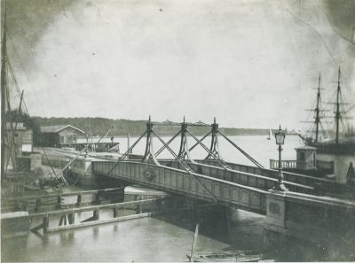
Spoorbrug Boerengat, former railway bridge in Rotterdam
Location: Rotterdam
Inception: 1857
GPS coordinates: 51.91911,4.50594
Latest update: March 8, 2025 22:08
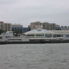
Tropicana
338 m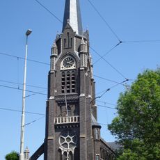
Sint-Lambertuskerk (Rotterdam)
555 m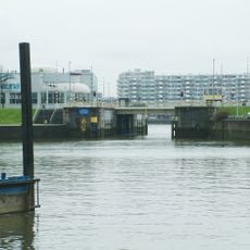
Boerengatbrug
446 m
Buizengat
281 m
Uit liefde en voorzorg
541 m
De Brug
573 m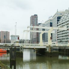
Admiraliteitsbrug
197 m
BlueCity010
281 m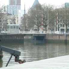
Oostbrug
568 m
Nassaubrug
568 m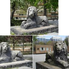
Lion sculptures Hofpoort
252 m
Buizengatbrug
599 m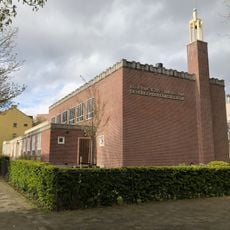
Kerk van Jezus Christus van de Heiligen der Laatste Dagen
647 m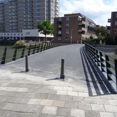
Buizenwerfbrug
468 m
Adriaan Volkerhuis
643 m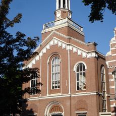
Avenue Concordiakerk
472 m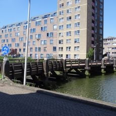
Buizenwerfbrug
468 m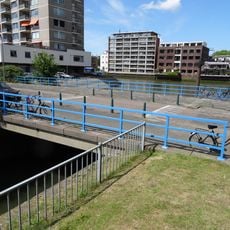
2e Buizengatbrug
598 m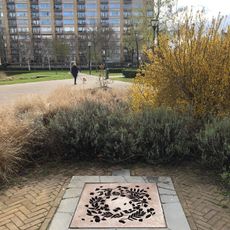
Sunken Fountain
619 m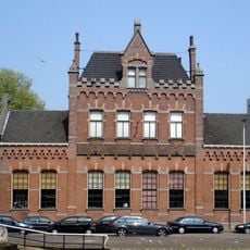
Stoomgemaal Schieland
647 m
Untitled
547 m
Untitled
136 m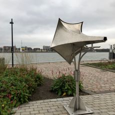
Scheepshoorn
368 m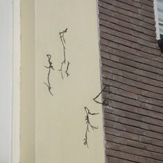
Van Vlinderbuurt tot Takkenwijk
628 m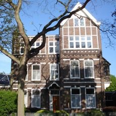
Rectory of Sint-Lambertuskerk
583 m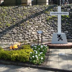
Monument aan de Hoflaan
564 m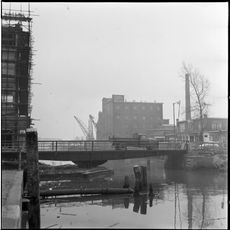
Boslandsbrug
156 m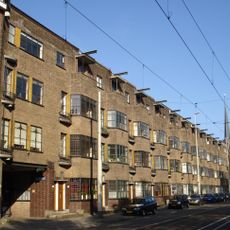
Honingerdijk 25-51, Rotterdam
613 mVisited this place? Tap the stars to rate it and share your experience / photos with the community! Try now! You can cancel it anytime.
Discover hidden gems everywhere you go!
From secret cafés to breathtaking viewpoints, skip the crowded tourist spots and find places that match your style. Our app makes it easy with voice search, smart filtering, route optimization, and insider tips from travelers worldwide. Download now for the complete mobile experience.

A unique approach to discovering new places❞
— Le Figaro
All the places worth exploring❞
— France Info
A tailor-made excursion in just a few clicks❞
— 20 Minutes