
Landhuis Mon Refuge, building in Vroenhof near Houthem, Netherlands
Location: Valkenburg aan de Geul
Address: Vroenhof 33
GPS coordinates: 50.87331,5.79027
Latest update: March 3, 2025 02:25
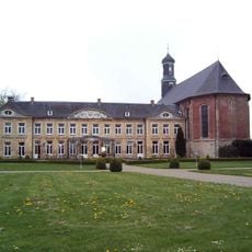
Château St. Gerlach
688 m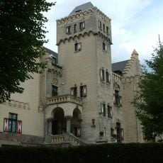
Kasteel Geulzicht
709 m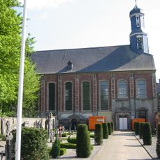
Sint-Gerlachuskerk
641 m
Ronald McDonald House
444 m
Geulhemmermolen
653 m
Wijnantshof
387 m
Vroenhof
518 m
Double cave dwelling, Geulhem
642 m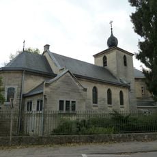
Sint-Martinuskerk
553 m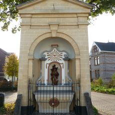
Gerlachuskapel
363 m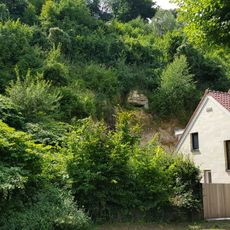
Amorgroeve
649 m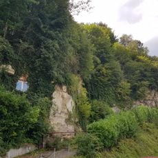
Studentengroeve
682 m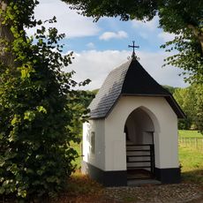
Sint-Martinuskapel
573 m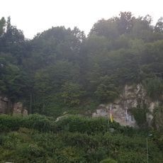
Koepelgroeve
677 m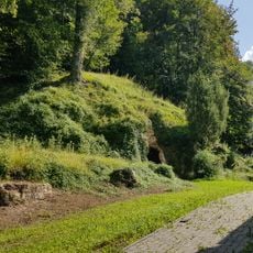
Heidegroeve
693 m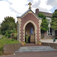
Mariakapel
690 m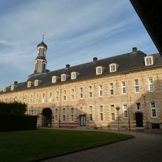
West wing Château St. Gerlach
651 m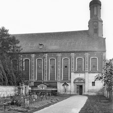
Complex Sint-Gerlachuskerk
649 m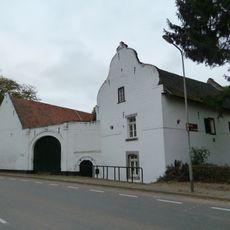
Boerderij Dobbelstein
685 m
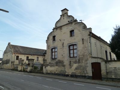
Vroenhof 18, Houthem
102 m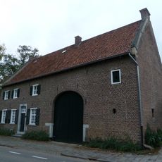
Sint Gerlach 32, Houthem
707 m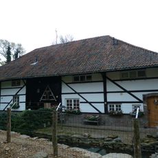
Stevensweg 1, Houthem
678 m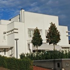
Casa Blanca
225 m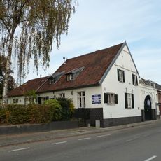
Sint Maartenshoeve
162 m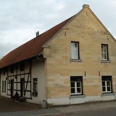
Vroenhof 100, Houthem
538 m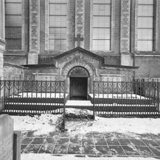
Grafkapel Corneli
647 m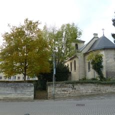
Churchyard Sint-Martinuskerk
542 m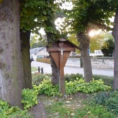
Wayside cross Vroenhof-Putweg, Vroenhof
527 mReviews
Visited this place? Tap the stars to rate it and share your experience / photos with the community! Try now! You can cancel it anytime.
Discover hidden gems everywhere you go!
From secret cafés to breathtaking viewpoints, skip the crowded tourist spots and find places that match your style. Our app makes it easy with voice search, smart filtering, route optimization, and insider tips from travelers worldwide. Download now for the complete mobile experience.

A unique approach to discovering new places❞
— Le Figaro
All the places worth exploring❞
— France Info
A tailor-made excursion in just a few clicks❞
— 20 Minutes