
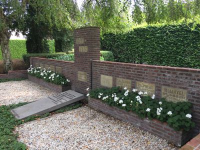
Monument 1940-1945, war memorial in ‘s-Gravendeel, the Netherlands
Location: Hoeksche Waard
Inception: 1941
Official opening: March 3, 1941
Address: Kerkstraat 9, 3295 BD, 's-Gravendeel (Hoeksche Waard), Zuid-Holland, Nederland
GPS coordinates: 51.74351,4.55338
Latest update: March 25, 2025 07:37

Schenkeldijk
3.5 km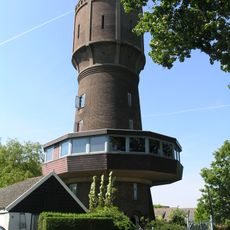
Watertoren Strijen
862 m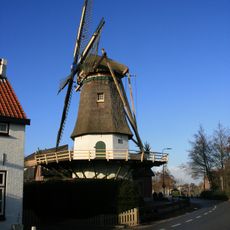
De Hoop
4.3 km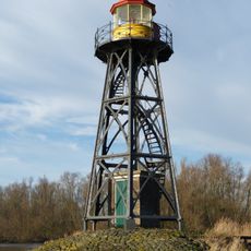
Strijensas Lichtopstand
4.2 km
Nederlands Hervormde Kerk, Maasdam
5 km
Land van Strijen
145 m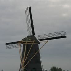
St. Anthonymolen
5 km
Schenkeldijk
3.5 km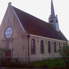
Nederlands Hervormde Kerk, Cillaarshoek
3.3 km
Grote- of Sint-Lambertuskerk
164 m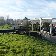
Schutsluis en Ophaalbrug
4 km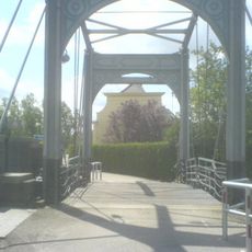
Ophaalbrug, onderdeel van het sluiscomplex in het rond 1650 verlengde havenkanaal van Strijen
4 km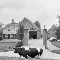
Waalenburg
2.9 km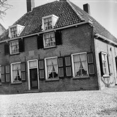
Bouw-en Vreelust
5.3 km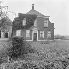
Boomdijk 14, Klaaswaal
3.5 km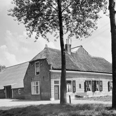
Boerderij. Dwars woonhuis onder rieten wolfdak en met gepleisterde voorgevel onder houten lijst. In de zijgevels sierankers en in de rechterzijgevel een half kruiskozijn.
1.7 km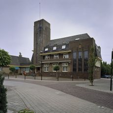
Raadhuis
216 m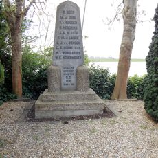
Monument Willemsdorp
5.5 km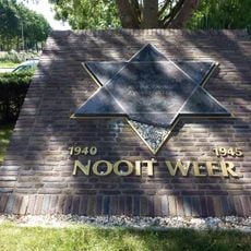
Joods monument
313 m
Pastorie
3.3 km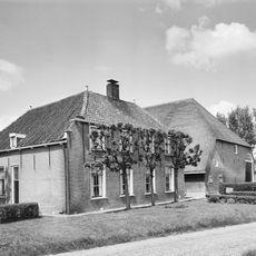
Schawacht
3.6 km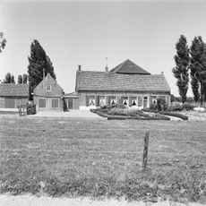
Zuid-Kavelsedijk 3, Strijen
2.3 km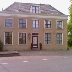
Raadhuisstraat 39, Maasdam
4.9 km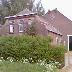
Kromme Elleboog 1: boerderij met woonhuis en Vlaamse schuur
5.2 km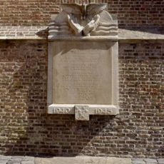
Oorlogsmonument
160 m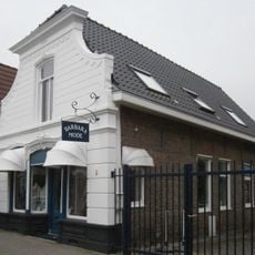
Winkelpand voorgevel met winkelpui
95 m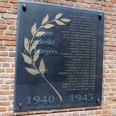
Oorlogsmonument (2)
164 m
Indië-monument
341 mReviews
Visited this place? Tap the stars to rate it and share your experience / photos with the community! Try now! You can cancel it anytime.
Discover hidden gems everywhere you go!
From secret cafés to breathtaking viewpoints, skip the crowded tourist spots and find places that match your style. Our app makes it easy with voice search, smart filtering, route optimization, and insider tips from travelers worldwide. Download now for the complete mobile experience.

A unique approach to discovering new places❞
— Le Figaro
All the places worth exploring❞
— France Info
A tailor-made excursion in just a few clicks❞
— 20 Minutes