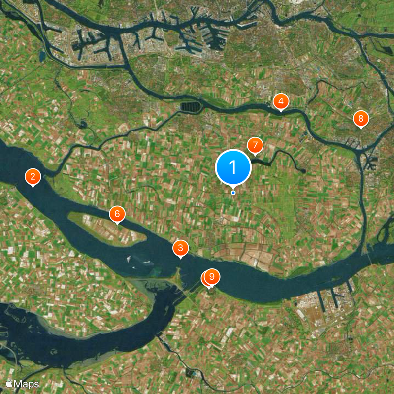
Hoeksche Waard, Agricultural municipality in South Holland, Netherlands
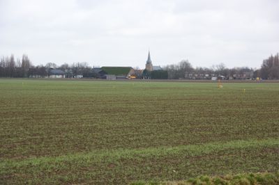
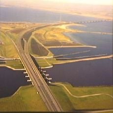
Hoeksche Waard is an island municipality in South Holland situated between five rivers, including the Oude Maas and Hollands Diep. The landscape consists of flat meadows crisscrossed by waterways and dikes that shape daily life.
The municipality was established in 2019 when five separate administrative areas merged: Binnenmaas, Cromstrijen, Korendijk, Oud-Beijerland, and Strijen. This joining created a single unified administration across the island.
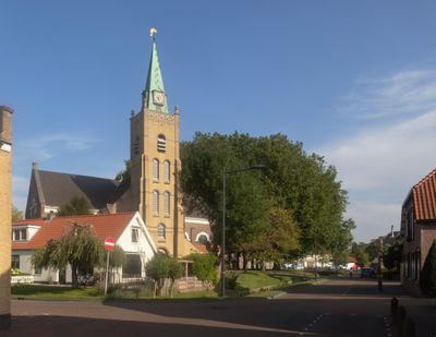
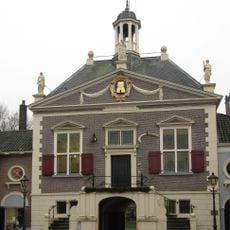
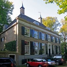
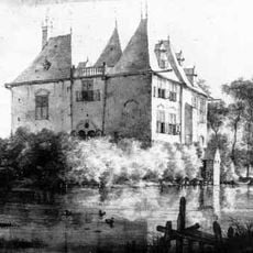
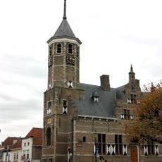
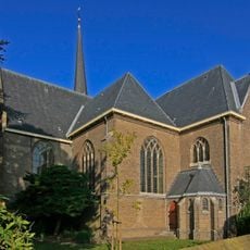
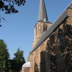
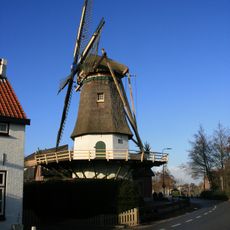
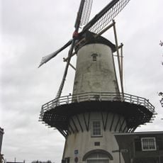
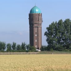
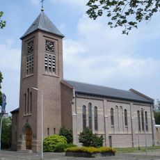
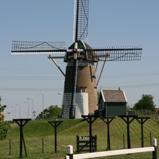
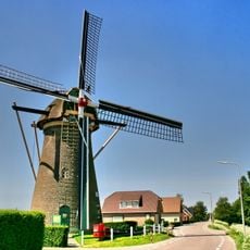
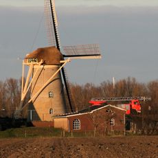
The area holds many traditional Dutch windmills and churches that shape its everyday landscape, speaking to centuries of building practices tied to water management and farming. These structures remain part of how residents and visitors experience the region today.
Tunnels connect to IJsselmonde and Dordrecht, while a ferry links to Voorne-Putten and bridges lead to Goeree-Overflakkee. Depending on where you want to go next, you have different options for leaving or entering the island.
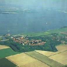
The territory includes Tiengemeten, a separate island transformed from farmland into a nature reserve featuring walking paths and educational centers. This shift shows how the area has reshaped its relationship with the natural environment.
Location: South Holland
Inception: January 1, 2019
Shares border with: Dordrecht, Zwijndrecht, Barendrecht, Albrandswaard, Nissewaard, Goeree-Overflakkee, Moerdijk
Phone: +31886471900
Email: info@gemeentehw.nl
Website: https://gemeentehw.nl
GPS coordinates: 51.76667,4.46667
Latest update: December 20, 2025 11:35
Haringvliet
17.3 km
Haringvlietbrug
7.2 km
Brug over de Oude Maas
8.2 km
Mauritshuis
8.5 km
Rien Poortvliet Museum
10.4 km
Hof van Moerkerken
3.8 km
Kasteel Develstein
12.4 km
Oude raadhuis van Willemstad
8.3 km
Dorpskerk, Oud-Beijerland
7.5 km
Nederlands Hervormde Kerk, Mijnsheerenland
3.9 km
Arsenaal
8.2 km
Felicitaskerk, Spijkenisse
12.1 km
Watertoren Strijen
7.3 kmFort Buitensluis
5.9 km
De Hoop
6.2 kmBeningerslikken
17.3 km
Strijensas Lichtopstand
10.3 kmEemsteyn
10.7 km
Mother
6 km
Vuurtoren Willemstad, North Brabant
8 km
D'Orangemolen
8.3 km
Vestingwerken Willemstad
8.3 km
Watertoren (Zuidzijde)
16.3 km
Lindtse kerk
11.9 km
De Swaen
10.3 km
Landzigt
7.6 km
Watertoren
1.3 km
Molen van Goidschalxoord
6.9 kmVisited this place? Tap the stars to rate it and share your experience / photos with the community! Try now! You can cancel it anytime.
Discover hidden gems everywhere you go!
From secret cafés to breathtaking viewpoints, skip the crowded tourist spots and find places that match your style. Our app makes it easy with voice search, smart filtering, route optimization, and insider tips from travelers worldwide. Download now for the complete mobile experience.
A unique approach to discovering new places❞
— Le Figaro
All the places worth exploring❞
— France Info
A tailor-made excursion in just a few clicks❞
— 20 Minutes