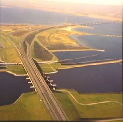
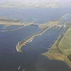
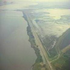
Haringvlietbrug, Highway bridge between Goeree-Overflakkee and Cromstrijen, Netherlands.
The Haringvlietbrug is a highway bridge that spans the Haringvliet estuary and connects two land areas with a two-lane roadway. Pedestrians can also use the crossing to reach the other side of this important waterway.
Construction was completed in the 1960s as part of a major infrastructure program in the Netherlands. It was built to meet the need for a permanent link between two growing communities.
The bridge joins two island regions and enables everyday visits between families and friends who would otherwise be separated. This simple crossing shapes how the two sides live together.
Vehicles must slow to 50 kilometers per hour and should be aware of automated cameras monitoring traffic. Pedestrians have a separate path with safe crossing options available.
A special mechanism in the bridge's center allows ships taller than 13 meters to pass through. This opening happens regularly, allowing boats to continue their journey.
The community of curious travelers
AroundUs brings together thousands of curated places, local tips, and hidden gems, enriched daily by 60,000 contributors worldwide.