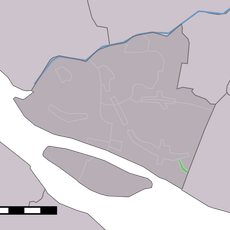
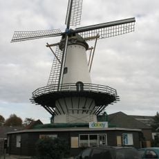
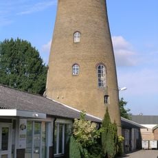
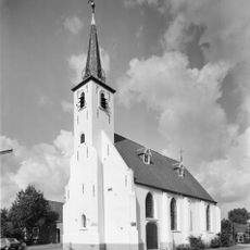
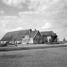
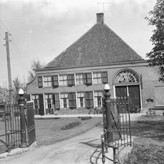
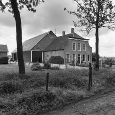
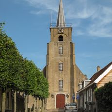
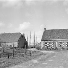
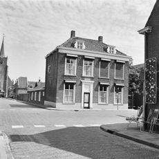
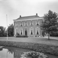
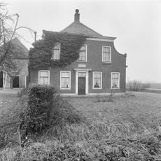
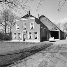
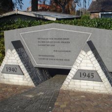
Cromstrijen, former municipality in South Holland, the Netherlands
Location: South Holland
Inception: January 1, 1984
Elevation above the sea: 0 m
Website: http://www.cromstrijen.nl/
Shares border with: Strijen, Binnenmaas, Korendijk, Oud-Beijerland, Goeree-Overflakkee, Moerdijk
Website: http://cromstrijen.nl
GPS coordinates: 51.74670,4.44610
Latest update: March 4, 2025 06:37
Haringvlietbrug
4.6 km
Vuurtoren Willemstad, North Brabant
5.6 km
Watertoren
2.4 km
Schenkeldijk
4.4 km
Windlust
5 km
Landzigt / Landzicht
1.6 km
Nederlands Hervormde Kerk, Westmaas
5 km
Nederlands Hervormde Kerk
2.6 km
Mariënburg, Westmaas
4.6 km
Buitenlust (Klaaswaal)
3.5 km
Oud-Cromstrijensedijk Westzijde 120, Klaaswaal
3.5 km
Nederlands Hervormde Kerk
2.2 km
Kreupeleweg 40, Klaaswaal
3.2 km
Voorstraat 30, Numansdorp
2.2 km
Pastorie van Mastland
5.1 km
Boomdijk 14, Klaaswaal
3.9 km
Voorstraat 24, Numansdorp
2.2 km
Waterschapshuis
2.3 km
Alexandershof
859 m
Cornelia's Hoeve
606 m
Dijkboerderij, bestaande uit een dwars woonhuis onder pannen zadeldak
3.5 km
Wachthuis Waterpoort
5.8 km
Kreekestein
5.8 km
Peilhuis
5.8 km
Dorpzigt, Zuid-Beijerland
5.4 km
Oorlogsmonument
2.6 km
Indië-monument
2 km
Monument op de Belgische erebegraafplaats
5.7 kmReviews
Visited this place? Tap the stars to rate it and share your experience / photos with the community! Try now! You can cancel it anytime.
Discover hidden gems everywhere you go!
From secret cafés to breathtaking viewpoints, skip the crowded tourist spots and find places that match your style. Our app makes it easy with voice search, smart filtering, route optimization, and insider tips from travelers worldwide. Download now for the complete mobile experience.
A unique approach to discovering new places❞
— Le Figaro
All the places worth exploring❞
— France Info
A tailor-made excursion in just a few clicks❞
— 20 Minutes