
Oorlogsmonument, war memorial in Staphorst, the Netherlands
Location: Staphorst
Inception: 1948
Official opening: 1948
Address: Binnenweg, 7951 DE, Staphorst (Staphorst), Overijssel, Nederland
GPS coordinates: 52.64398,6.20998
Latest update: March 2, 2025 23:39


Dorpskerk
256 m
Gemeenteweg 67, Staphorst
364 m
Boerderij Staphorst
292 m
Gemeenteweg 112, Staphorst
363 m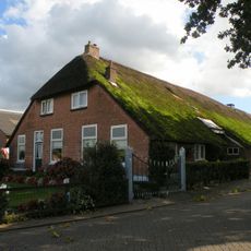
Industrieweg 1, Staphorst
382 m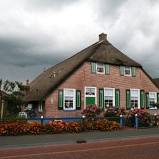
Gemeenteweg 41, Staphorst
342 m
Gemeenteweg 47, Staphorst
391 m
Gemeenteweg 60, Staphorst
229 m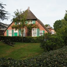
Gemeenteweg 55, Staphorst
295 m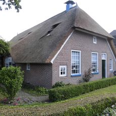
Gemeenteweg 96, Staphorst
330 m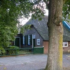
Gemeenteweg 103, Staphorst
425 m
Gemeenteweg 48, Staphorst
276 m
Gave boerderij van het Staphorstse type
399 m
Gemeenteweg 83, Staphorst
328 m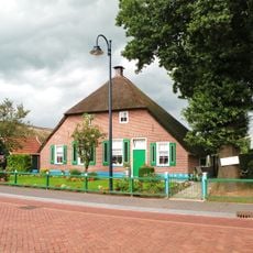
Gemeenteweg 51, Staphorst
324 m
Gemeenteweg 6, Staphorst
420 m
Gemeenteweg 24, Staphorst
344 m
Gave boerderij van het Staphorstse type
277 m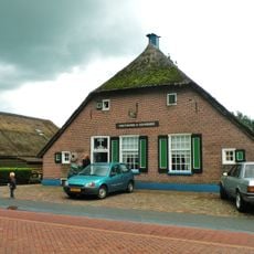
Gemeenteweg 46, Staphorst
270 m
Gemeenteweg 57, Staphorst
330 m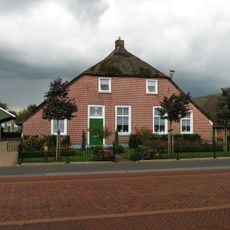
Gemeenteweg 49, Staphorst
331 m
Gemeenteweg 82, Staphorst
229 m
Gemeenteweg 56, Staphorst
238 m
Gemeenteweg 106, Staphorst
321 m
Pastorie, Staphorst
289 m
In hoofdvorm gaaf bewaarde boerderij van het Staphorstse type
371 m
Industrieweg 8, Staphorst
350 m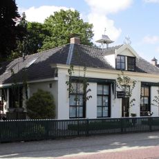
Gemeenteweg 85, Staphorst
352 mReviews
Visited this place? Tap the stars to rate it and share your experience / photos with the community! Try now! You can cancel it anytime.
Discover hidden gems everywhere you go!
From secret cafés to breathtaking viewpoints, skip the crowded tourist spots and find places that match your style. Our app makes it easy with voice search, smart filtering, route optimization, and insider tips from travelers worldwide. Download now for the complete mobile experience.

A unique approach to discovering new places❞
— Le Figaro
All the places worth exploring❞
— France Info
A tailor-made excursion in just a few clicks❞
— 20 Minutes