Stimannsberget, protected area in Norway (Naturbase code: VV00001845)
Location: Sør-Odal Municipality
GPS coordinates: 60.14167,11.75111
Latest update: November 16, 2025 08:43
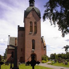
Strøm Church
11.4 km
Ullern Church
10.2 km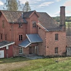
Auli mølle
11.7 km
Gulli bru
11.2 km
Bukketangen
9.6 km
Nygardsmyrene
11.1 km
Vindmyra
10 km
Trinborgholen
9.4 km
Hvitmåsan
10.6 km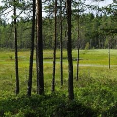
Sakkhusmåsan
8.1 km
Trapphella
2.3 km
Butjernberget
11.5 km
Bjørkefossen
10.1 km
De tre årene
7 km
Haukeliberget
9.9 km
Holeberget
11.7 km
Stasberget
11.3 km
Haukeberget
10 km
Gammelhaugen
8.5 km
Sandnes
11.5 km
Kjerstibrenna
9 km
Brattberget
7.2 km
Sør-Odal prestegård
11.3 km
Maarud
11.1 km
Work of art, sculpture
8.2 km
Scenic viewpoint
10 km
Trapphella
2.2 km
Bjørkefossen
10.1 kmReviews
Visited this place? Tap the stars to rate it and share your experience / photos with the community! Try now! You can cancel it anytime.
Discover hidden gems everywhere you go!
From secret cafés to breathtaking viewpoints, skip the crowded tourist spots and find places that match your style. Our app makes it easy with voice search, smart filtering, route optimization, and insider tips from travelers worldwide. Download now for the complete mobile experience.

A unique approach to discovering new places❞
— Le Figaro
All the places worth exploring❞
— France Info
A tailor-made excursion in just a few clicks❞
— 20 Minutes