
Haukeberget, جرف في نيس، آكرشوس، النرويج
Location: Nes
Elevation above the sea: 201 m
GPS coordinates: 60.05298,11.77532
Latest update: April 25, 2025 18:26
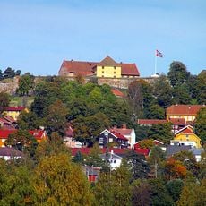
Kongsvinger Fortress
20.9 km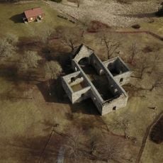
Nes Church ruins
20.7 km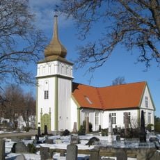
Vinger Church
20.5 km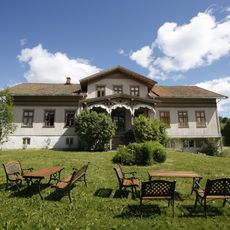
Women's Museum Norway
20.6 km
Eidskog Church
19.6 km
Mangen Chapel
6.7 km
Årnes Church
18.6 km
Vestmarka church
18.4 km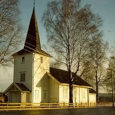
Auli Church
21 km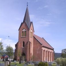
Ullern Church
19.4 km
Funnefoss industriarbeidermuseum
18.8 km
Tråstad skanse
20.8 km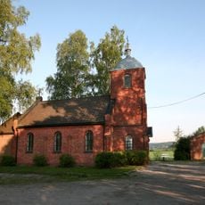
Klodsbodding Chapel
20.3 km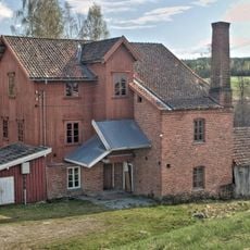
Auli mølle
14 km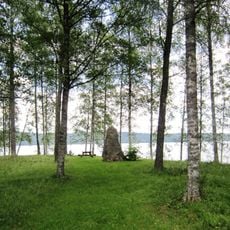
Rakeie gravplass
3.4 km
Saint Clare Church
20 km
Bukketangen
678 m
Gjemselund bru
19.5 km
Kulturparken Nor
20.1 km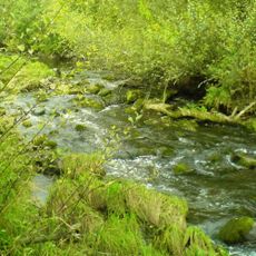
Lierfossen
20.1 km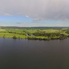
Beengen
20.8 km
Sakkhusmåsan
3.2 km
Åmotgården
20.7 km
Chr. Christiansens gård
20.6 km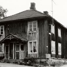
Digerudgården
20.6 km
Olavskilden
20 km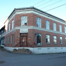
Herdahlgården
20.6 km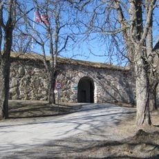
Kongsvinger festnings forterreng
20.9 kmReviews
Visited this place? Tap the stars to rate it and share your experience / photos with the community! Try now! You can cancel it anytime.
Discover hidden gems everywhere you go!
From secret cafés to breathtaking viewpoints, skip the crowded tourist spots and find places that match your style. Our app makes it easy with voice search, smart filtering, route optimization, and insider tips from travelers worldwide. Download now for the complete mobile experience.

A unique approach to discovering new places❞
— Le Figaro
All the places worth exploring❞
— France Info
A tailor-made excursion in just a few clicks❞
— 20 Minutes