Galdhøpiggen, hill summit in Porsgrunn, Telemark, Norway
Location: Porsgrunn
Elevation above the sea: 222 m
GPS coordinates: 59.18303,9.85987
Latest update: March 16, 2025 01:19

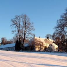
Borgestad Manor
12.1 km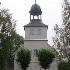
Eidanger Church
11.6 km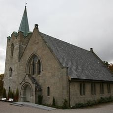
Borgestad church
11.8 km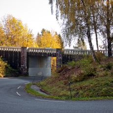
Korketrekkeren
10.9 km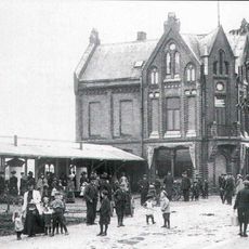
Customs House, Porsgrunn
12.6 km
Porsgrunn City Hall
12.6 km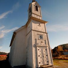
Kjose Church
9 km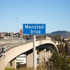
Menstad Bridge
12.8 km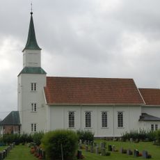
Kvelde Church
6.3 km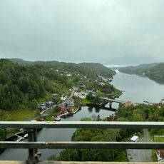
Langangsfjorden
12.8 km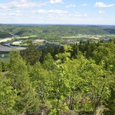
Jordstøyp
5.3 km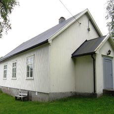
Stranda kapell
1.6 km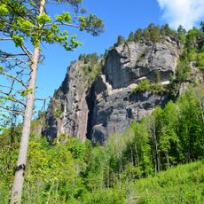
Middagskollen
3.7 km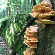
Brånakollane
10.9 km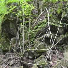
Vemannsås
7 km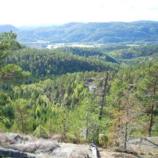
Korpen og Sagkollen
10.2 km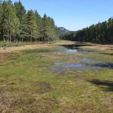
Kringlemyr
11.6 km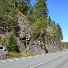
Bratthagen
9.4 km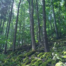
Holtsåsen
12.1 km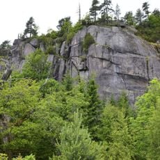
Røysa
3.1 km
Løve
12.1 km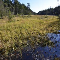
Stormyr
11.4 km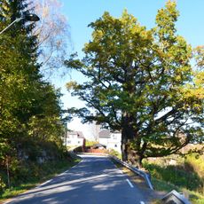
Kroken
8.7 km
Vestre Langangen bru
10.7 km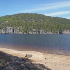
Børja
8.6 km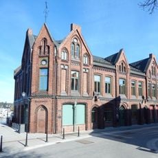
Porsgrunn tollbygning
12.6 km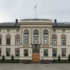
Rådhuset
12.6 km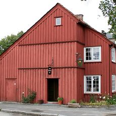
MICHEL SEILMAKERS HUS (MICHAEL SEYLMAGERS HUS)
12.6 kmReviews
Visited this place? Tap the stars to rate it and share your experience / photos with the community! Try now! You can cancel it anytime.
Discover hidden gems everywhere you go!
From secret cafés to breathtaking viewpoints, skip the crowded tourist spots and find places that match your style. Our app makes it easy with voice search, smart filtering, route optimization, and insider tips from travelers worldwide. Download now for the complete mobile experience.

A unique approach to discovering new places❞
— Le Figaro
All the places worth exploring❞
— France Info
A tailor-made excursion in just a few clicks❞
— 20 Minutes