
Trangfoss, Wasserfall in Norwegen
Location: Bærum Municipality
Elevation above the sea: 216 m
GPS coordinates: 59.98671,10.43262
Latest update: May 14, 2025 15:58

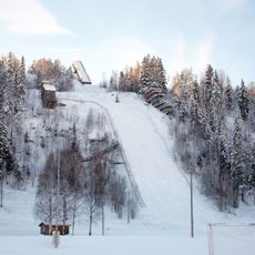
Skuibakken
6.7 km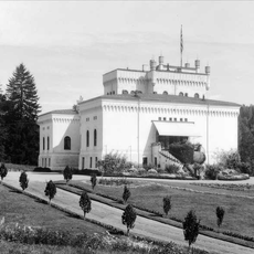
Bærums Verk hovedgård
6.7 km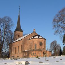
Bryn Church
7.9 km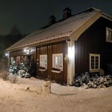
Værtshuset Bærums Verk
6.3 km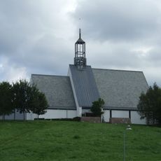
Lommedalen Church
5.5 km
Bærumsmarka
5.1 km
Løvenskiold shooting range
8.7 km
Bærum idrettspark
9.3 km
Kolsåstoppen
8 km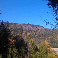
Gråmagan
9.2 km
Kolsås/Dælivann
8.9 km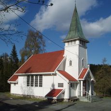
Sollihøgda Chapel
5.2 km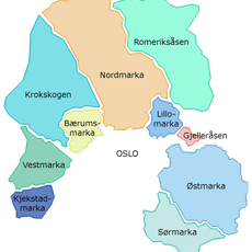
Krokskogen
8.5 km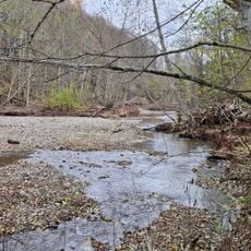
Djupdalen og Kjaglidalen
2.4 km
Haslumseter Chapel
6.3 km
Ovnsmuseet på Bærums verk
6.4 km
Svenskehølet
9.3 km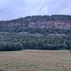
Ramsåsen
9.4 km
Gardlaushøgda
8.5 km
Dalbo
8.9 km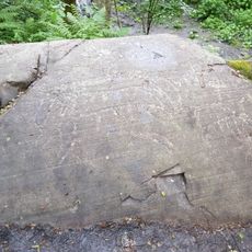
Helleristningene på Dalbo
8.9 km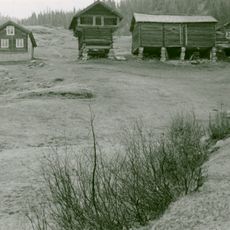
Vinsvoll-loftet
8.6 km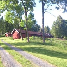
Eplehaugen
6.6 km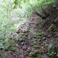
Enli naturreservat
5.4 km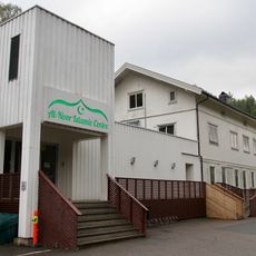
Al-Noor Islamic Centre
7.6 km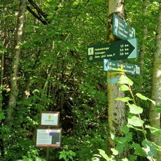
Skotta
9.4 km
Nygård
7.1 km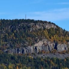
Kolsåsstupene
9.1 kmReviews
Visited this place? Tap the stars to rate it and share your experience / photos with the community! Try now! You can cancel it anytime.
Discover hidden gems everywhere you go!
From secret cafés to breathtaking viewpoints, skip the crowded tourist spots and find places that match your style. Our app makes it easy with voice search, smart filtering, route optimization, and insider tips from travelers worldwide. Download now for the complete mobile experience.

A unique approach to discovering new places❞
— Le Figaro
All the places worth exploring❞
— France Info
A tailor-made excursion in just a few clicks❞
— 20 Minutes