
Søndre Dyttholknatten, protected area in Norway
Location: Sør-Aurdal Municipality
Inception: June 28, 1985
GPS coordinates: 60.51530,9.66650
Latest update: July 3, 2025 01:22

Bjørneparken
15.1 km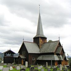
Hedal Stave Church
12 km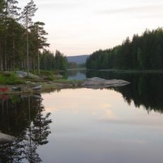
Fjorda
33.5 km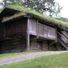
Hallingdal Museum
32 km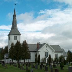
Lunder Church
33.7 km
Bagn Bygdesamling
30 km
Hagan
33.4 km
Vassfaret og Vidalen
917 m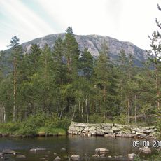
Bukollen
11.9 km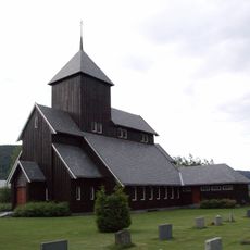
Begnadalen Church
16.1 km
Bagnsbergatn gard
35.7 km
Bautahaugen Samlinger
8.8 km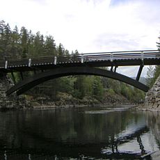
Fønhus bru
27.1 km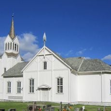
Nes Church
31.4 km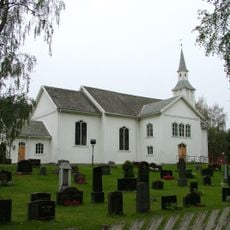
Flå Church
14.7 km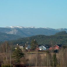
Vikerfjell
13.8 km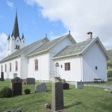
Eggedal Church
34.5 km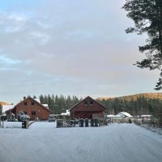
Samsjøveien
35.1 km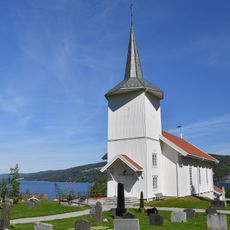
Sørum Church
34.5 km
Haglebu fjellkirke
33.4 km
Killingstrømmen
29.3 km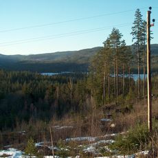
Haverstingen
23.4 km
Bukollen
11.4 km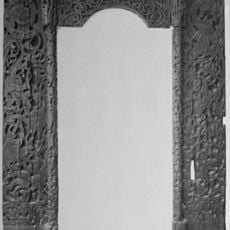
Bagn gamle kirkested
34.6 km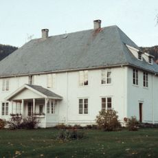
Sør-Aurdal prestegård
34.3 km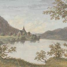
Flå Stave Church
14.5 km
Ringnes
28.4 km
Hovland
34.1 kmReviews
Visited this place? Tap the stars to rate it and share your experience / photos with the community! Try now! You can cancel it anytime.
Discover hidden gems everywhere you go!
From secret cafés to breathtaking viewpoints, skip the crowded tourist spots and find places that match your style. Our app makes it easy with voice search, smart filtering, route optimization, and insider tips from travelers worldwide. Download now for the complete mobile experience.

A unique approach to discovering new places❞
— Le Figaro
All the places worth exploring❞
— France Info
A tailor-made excursion in just a few clicks❞
— 20 Minutes