
Kyrkjevoll, rock art in Lærdal, Vestland, Norway
Location: Lærdal Municipality
GPS coordinates: 61.04821,7.81293
Latest update: September 20, 2025 07:58
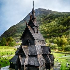
Borgund Stave Church
115 m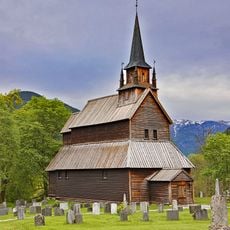
Kaupanger Stave Church
34.6 km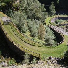
Vindhellavegen
603 m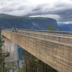
Stegastein
36 km
Tyin
34 km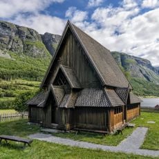
Øye stave church
34.3 km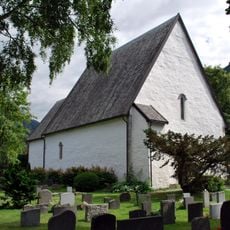
Vangen Church
37.3 km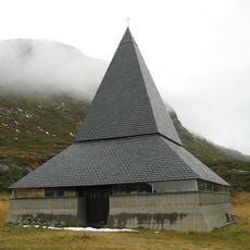
St. Thomas Church
22 km
Farnes Church
29.2 km
Stolsvatnet
36.4 km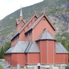
Årdal Church
21.9 km
Årdalsfjorden
22.3 km
Øye church
34.2 km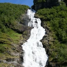
Hjellefossen
33.1 km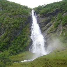
Avdalsfossen
34.4 km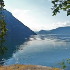
Lærdalsfjorden
23.1 km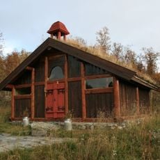
Harahorn chapel
36.8 km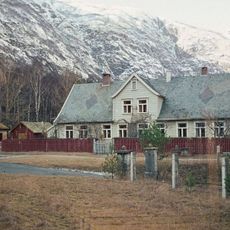
Lærdal prestegård
16.1 km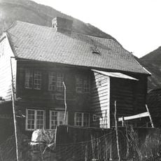
Synneva Eris hus, Husfred
18.5 km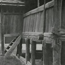
Nordeide - Hemrebui Amla øvre (museum)
32.9 km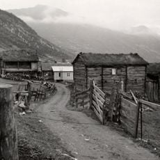
Medgarden
35.2 km
Kvamme nedre
2 km
Amle nedre (Lensmannsgården)
32.7 km
Skjerdalshus
37.2 km
Ljøsne øvre
10.6 km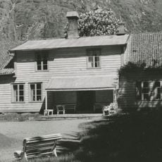
Rikheim
10.3 km
Kaupanger hovedgård
34.6 km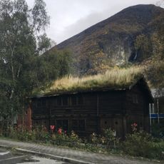
ÅRDAL KOPPERSTUE, ÅRDAL OG SUNNDAL VERK, (Arne Sørheims gard)
21.7 kmReviews
Visited this place? Tap the stars to rate it and share your experience / photos with the community! Try now! You can cancel it anytime.
Discover hidden gems everywhere you go!
From secret cafés to breathtaking viewpoints, skip the crowded tourist spots and find places that match your style. Our app makes it easy with voice search, smart filtering, route optimization, and insider tips from travelers worldwide. Download now for the complete mobile experience.

A unique approach to discovering new places❞
— Le Figaro
All the places worth exploring❞
— France Info
A tailor-made excursion in just a few clicks❞
— 20 Minutes